North East in Cecil County, Maryland — The American Northeast (Mid-Atlantic)
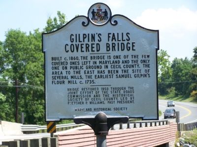
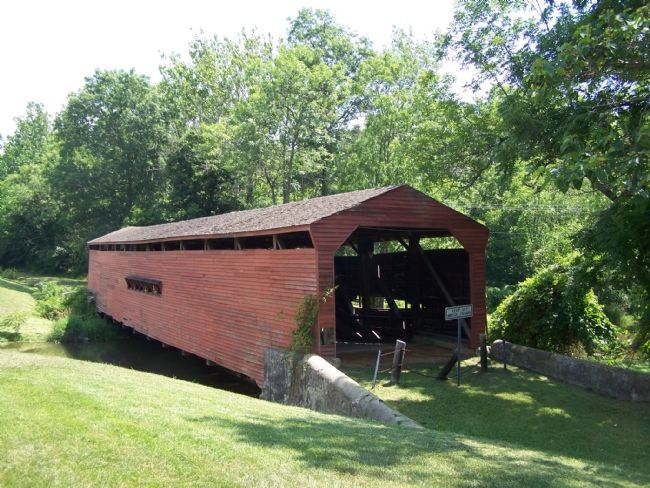
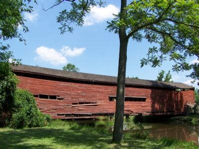
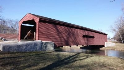
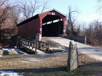
Gilpin’s Falls Covered Bridge
Bridge restored 1959 through the joint effort of the State Roads Commission and the Historical Society of Cecil County, led by Fletcher P. Williams, Past President.
Erected by Maryland Historical Society.
Topics and series. This historical marker is listed in these topic lists: Bridges & Viaducts • Colonial Era • Landmarks • Roads & Vehicles. In addition, it is included in the Covered Bridges series list. A significant historical year for this entry is 1860.
Location. 39° 38.923′ N, 75° 57.36′ W. Marker is in North East, Maryland, in Cecil County. Marker is on North East Road (Route 272) 0.3 miles north of Old Bayview Road, on the right when traveling north. Touch for map. Marker is in this post office area: North East MD 21901, United States of America. Touch for directions.
Other nearby markers. At least 8 other markers are within 4 miles of this marker, measured as the crow flies. The North East Nazarene Camp (approx. 2.3 miles away); a different marker also named The North East Nazarene Camp (approx. 2½ miles away); a different marker also named The North East Nazarene Camp (approx. 2.6 miles away); North East (approx. 3.4 miles away); In recognition (approx. 3½ miles away); St. Mary Anne’s Church (approx. 3.7 miles away); Maryland Women in Military Service Monument (approx. 3.8 miles away); Historic East Nottingham Tanyard (approx. 3.8 miles away). Touch for a list and map of all markers in North East.
Credits. This page was last revised on August 17, 2019. It was originally submitted on July 15, 2007, by Bill Pfingsten of Bel Air, Maryland. This page has been viewed 2,788 times since then and 26 times this year. Photos: 1, 2, 3. submitted on July 15, 2007, by Bill Pfingsten of Bel Air, Maryland. 4, 5. submitted on February 6, 2015, by F. Robby of Baltimore, Maryland. • J. J. Prats was the editor who published this page.
