Near Earleville in Cecil County, Maryland — The American Northeast (Mid-Atlantic)
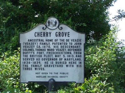
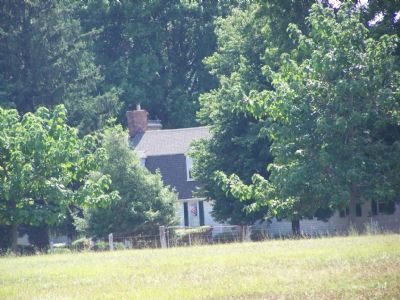
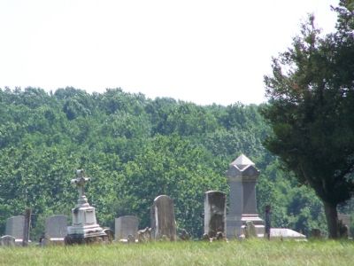
Cherry Grove
Not open to the public
Erected by Maryland Historical Society.
Topics. This historical marker is listed in these topic lists: Cemeteries & Burial Sites • Colonial Era • Forts and Castles • War of 1812. A significant historical year for this entry is 1670.
Location. 39° 27.664′ N, 75° 55.506′ W. Marker is near Earleville, Maryland, in Cecil County. Marker is on Cherry Grove Road, 0.9 miles west of Stoney Battery Road, on the left when traveling west. This marker is also west of intersection with Fingerboard Schoolhouse Road, which intersection is much closer to the marker than is the intersection with Stoney Battery Road. Touch for map. Marker is in this post office area: Earleville MD 21919, United States of America. Touch for directions.
Other nearby markers. At least 8 other markers are within 4 miles of this marker, measured as the crow flies. Essex Lodge (approx. 1.6 miles away); Original Vestry House Memorial (approx. 2½ miles away); North Sassafras Parish (approx. 2½ miles away); St. Peters Episcopal Church Bell (approx. 2½ miles away); Bohemia (approx. 3.1 miles away); Mount Pleasant (approx. 3½ miles away); “Bohemia Mannor” (approx. 3.6 miles away); Woodlawn (approx. 3.7 miles away). Touch for a list and map of all markers in Earleville.
Credits. This page was last revised on September 21, 2020. It was originally submitted on July 15, 2007. This page has been viewed 2,529 times since then and 59 times this year. Last updated on September 21, 2020, by Carl Gordon Moore Jr. of North East, Maryland. Photos: 1, 2, 3. submitted on July 15, 2007, by Bill Pfingsten of Bel Air, Maryland. • J. Makali Bruton was the editor who published this page.


