Fort Wayne in Allen County, Indiana — The American Midwest (Great Lakes)
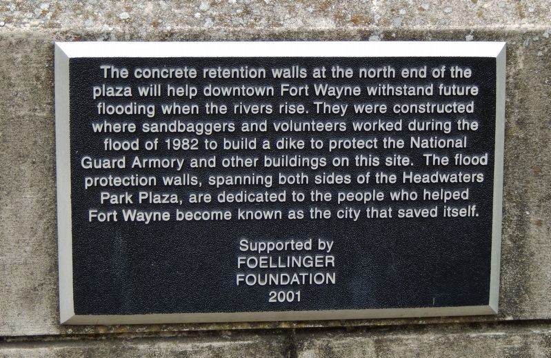
Flood Retention Walls
Erected 2001 by City of Fort Wayne and the Foellinger Foundation.
Topics. This historical marker is listed in these topic lists: Charity & Public Work • Disasters • Waterways & Vessels. A significant historical year for this entry is 1982.
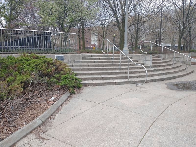
Location. 41° 5.078′ N, 85° 8.352′ W. Marker is in Fort Wayne, Indiana, in Allen County. Marker is on floodwall near the Festival Plaza in Headwaters Park, along Clinton Street. Park is located at 333 S. Clinton Street. Touch for map. Marker is in this post office area: Fort Wayne IN 46802, United States of America. Touch for directions.
Other nearby markers. At least 8 other markers are within walking distance of this marker. Headwaters Park (within shouting distance of this marker); The Concrete Restoration Walls (within shouting distance of this marker); First Americans (within shouting distance of this marker); The Fur Traders and the Military at Fort Wayne (about 300 feet away, measured in a direct line); a different marker also named Headwaters Park (about 300 feet away); Miami Legend of the Sandhill Crane (about 400 feet away); Early Effort To Build A Park (about 400 feet away); Early Masonic Lodge (about 400 feet away). Touch for a list and map of all markers in Fort Wayne.
Credits. This page was last revised on May 26, 2022. It was originally submitted on March 15, 2009, by William Fischer, Jr. of Scranton, Pennsylvania. This page has been viewed 1,615 times since then and 21 times this year. Photos: 1. submitted on December 19, 2020, by Cosmos Mariner of Cape Canaveral, Florida. 2. submitted on March 15, 2009, by William Fischer, Jr. of Scranton, Pennsylvania. 3. submitted on May 2, 2022, by Craig Doda of Napoleon, Ohio. • Bill Pfingsten was the editor who published this page.


