Smyrna in Cobb County, Georgia — The American South (South Atlantic)
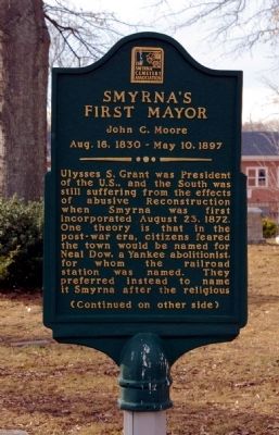
Smyrna’s First Mayor
John C. Moore
— Aug. 16, 1830 - May 10, 1897 —
Ulysses S. Grant was President of the U.S., and the South was still suffering from the effects of abusive Reconstruction when Smyrna was first incorporated August 23, 1872. One theory is that in the post-war era, citizens feared the town would be named for Neal Dow, a Yankee abolitionist, for whom the railroad station was named. They preferred instead to name it Smyrna after the religious
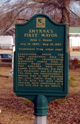
campground which had been established here in the 1830’s. Incorporating legislation named John C. Moore Mayor (Intendent). Four aldermen were also named: E.D.L. Mobley, W.R. Bell, W.L. Davenport, and G.P. Daniel. The town was incorporated a second time in 1897 reducing the city limits from 1 mile to 1/2 mile but most early records were destroyed in a city hall fire in the 1920’s.
Erected by The Smyrna Cemetery Association.
Topics. This historical marker is listed in these topic lists: Cemeteries & Burial Sites • Political Subdivisions. A significant historical year for this entry is 1872.
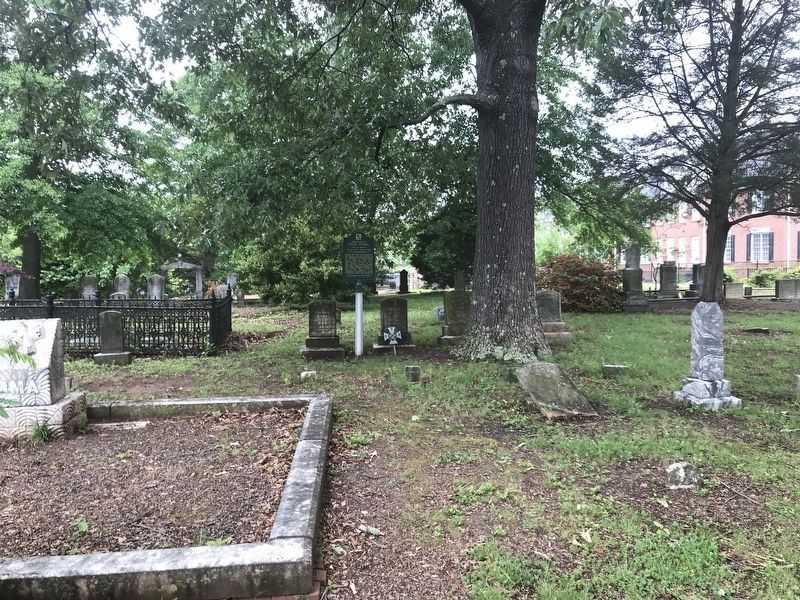
Location. 33° 53.007′ N, 84° 30.898′ W. Marker is in Smyrna, Georgia, in Cobb County. Marker is on Memorial Place, 0 miles south of Atlanta Road SE (Georgia Route 3), on the right when traveling south. Marker is located in the Smyrna Memorial Cemetery. Touch for map . Marker is in this post office area: Smyrna GA 30080, United States of America. Touch for directions.
Other nearby markers. At least 8 other markers are within 3 miles of this marker, measured as the crow flies. Mazie Whitfield Nelson (here, next to this marker); First Marked Burial (a few steps from this marker); Smyrna Memorial Cemetery (within shouting distance of this marker); Battle of Smyrna (about 400 feet away, measured in a direct line); The Taylor-Brawner House (approx. ¾ mile away); Hood's Corps at Battle of Ruff's Mill (approx. 1.8 miles away); The Alexander Eaton House: Hood’s H'dq'rs. (approx. 1.8 miles away); The Hargrove House (approx. 2.4 miles away). Touch for a list and map of all markers in Smyrna.
Credits. This page was last revised on May 11, 2022. It was originally submitted on March 15, 2009, by David Seibert of Sandy Springs, Georgia. This page has been viewed 1,275 times since then and 11 times this year. Photos: 1, 2. submitted on March 15, 2009, by David Seibert of Sandy Springs, Georgia. 3. submitted on May 10, 2022, by Duane and Tracy Marsteller of Murfreesboro, Tennessee. • Bill Pfingsten was the editor who published this page.


