Colonial Heights, Virginia — The American South (Mid-Atlantic)
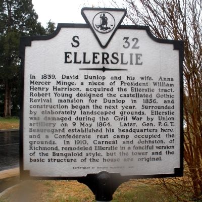
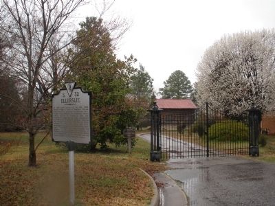
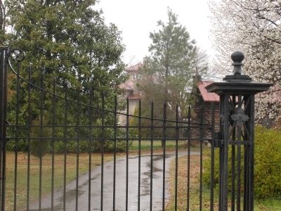
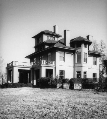
Ellerslie
Erected 1998 by Department of Historic Resources. (Marker Number S-32.)
Topics and series. This historical marker is listed in this topic list: War, US Civil. In addition, it is included in the Former U.S. Presidents: #09 William Henry Harrison, and the Virginia Department of Historic Resources (DHR) series lists. A significant historical date for this entry is May 9, 1864.
Location. 37° 16.224′ N, 77° 24.242′ W. Marker is in Colonial Heights, Virginia. Marker is on Longhorn Drive, 0.1 miles north of East Ellerslie Avenue, on the left when traveling north. Touch for map. Marker is in this post office area: Colonial Heights VA 23834, United States of America. Touch for directions.
Other nearby markers. At least 8 other markers are within 2 miles of this marker, measured as the crow flies. A different marker also named Ellerslie (here, next to this marker); Dunlop's Station (approx. 0.2 miles away); Dunlop Station (approx. 0.2 miles away); Electric Railway (approx. ¾ mile away); "Brave to Madness" (approx. one mile away); Battle of Swift Creek (approx. one mile away); Union Army Checked (approx. 1.2 miles away); Swift Creek Battlefield: A Landscape of Change (approx. 1.2 miles away). Touch for a list and map of all markers in Colonial Heights.
Also see . . . Ellerslie. National Register of Historic Places. (Submitted on September 11, 2009.)
Credits. This page was last revised on November 5, 2021. It was originally submitted on March 16, 2009, by Bernard Fisher of Richmond, Virginia. This page has been viewed 3,096 times since then and 54 times this year. Photos: 1, 2, 3. submitted on March 16, 2009, by Bernard Fisher of Richmond, Virginia. 4. submitted on September 11, 2009, by Bernard Fisher of Richmond, Virginia.


