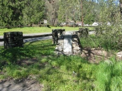
Coloma in El Dorado County, California — The American West (Pacific Coastal)
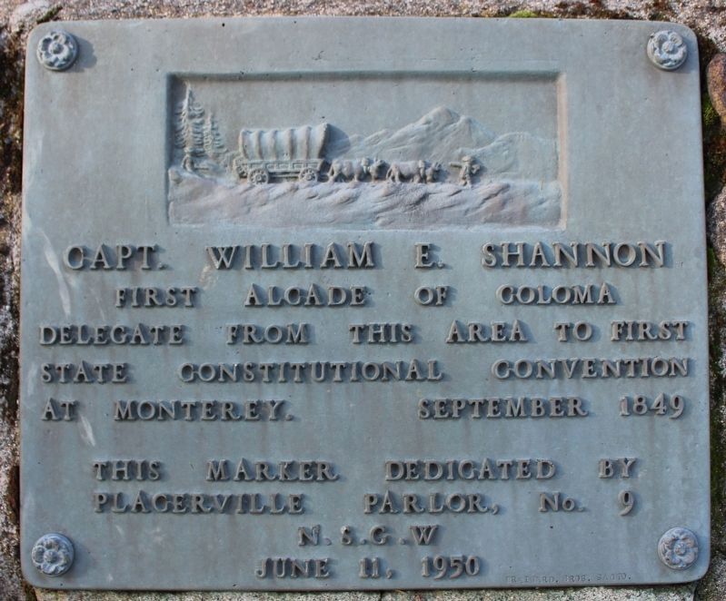
Capt. William E. Shannon
Erected 1950 by Placerville Parlor, No.9, N.S.G.W., June 11, 1950.
Topics and series. This historical marker is listed in these topic lists: Government & Politics • Settlements & Settlers. In addition, it is included in the Native Sons/Daughters of the Golden West series list. A significant historical year for this entry is 1849.
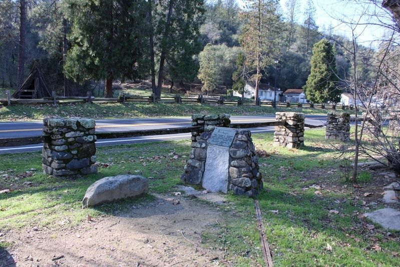
Location. 38° 48.129′ N, 120° 53.602′ W. Marker is in Coloma, California, in El Dorado County. Marker can be reached from Highway 49. Marker is located within the boundaries of the Marshall Gold Discovery State Historic Park at the northwest corner of the North Beach Parking Area. Touch for map. Marker is in this post office area: Coloma CA 95613, United States of America. Touch for directions.
Other nearby markers. At least 8 other markers are within walking distance of this marker. Marshall Gold Discovery State Historic Park (within shouting distance of this marker); A Place to Gather and Work (within shouting distance of this marker); The Coloma Road (within shouting distance of this marker); Where the Gold Rush Started (within shouting distance of this marker); Mormon Workers Cabin (about 300 feet away, measured in a direct line); James Wilson Marshall (about 400 feet away); Changing California (about 400 feet away); Changing Life for the Nisenan (about 400 feet away). Touch for a list and map of all markers in Coloma.
Also see . . . California’s Constitutional Convention of 1848 – Monterey. (Submitted on March 30, 2009, by Syd Whittle of Mesa, Arizona.)
Credits. This page was last revised on January 22, 2023. It was originally submitted on March 30, 2009, by Syd Whittle of Mesa, Arizona. This page has been viewed 1,960 times since then and 26 times this year. Photos: 1. submitted on January 22, 2023, by Joseph Alvarado of Livermore, California. 2. submitted on March 30, 2009, by Syd Whittle of Mesa, Arizona. 3. submitted on January 22, 2023, by Joseph Alvarado of Livermore, California. 4, 5. submitted on March 30, 2009, by Syd Whittle of Mesa, Arizona.
