Marker Logo HMdb.org THE HISTORICAL
MARKER DATABASE
“Bite-Size Bits of Local, National, and Global History”
Near Diablo in Contra Costa County, California — The American West (Pacific Coastal)
 

Mount Diablo


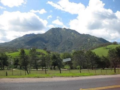
Mount Diablo Marker image. Click for full size.
Photographed By Karen Key, March 8, 2009
1. Mount Diablo Marker
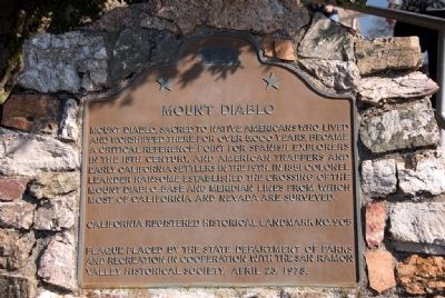
Inscription. Mount Diablo, sacred to Native Americans who lived and worshipped there for over 5,000 years became a critical reference point for Spanish explorers in the 18th century, and American trappers and early California settlers in the 19th. In 1851 Colonel Leander Ransome established the crossing of the Mount Diablo Base and meridian lines from which most of California and Nevada are surveyed.

California Registered Historical Landmark No. 905

Plaque placed by the State Department of Parks and Recreation in cooperation with the San Ramon Valley Historical Society, April 23, 1978.
 
Erected 1978 by State Department of Parks and Recreation in cooperation with the San Ramon Valley Historical Society. (Marker Number 905.)
 
Topics and series. This historical marker is listed in these topic lists: Churches & ReligionExplorationNative AmericansSettlements & Settlers. In addition, it is included in the California Historical Landmarks series list. A significant historical date for this entry is April 23, 1898.
 
Location. 37° 52.9′ N, 121° 54.85′ W. Marker is near Diablo, California, in Contra Costa County. Marker is on Summit Road, on the right when traveling north. Touch for map. Marker is in this post office area: Diablo CA 94528, United States of America. Touch for directions.
 
Other nearby markers. At least 8 other markers are
Paid Advertisement
Click on the ad for more information.
Please report objectionable advertising to the Editor.
Click or scan to see
this page online
within 3 miles of this marker, measured as the crow flies. Mount Diablo Beacon: (a few steps from this marker); Mt Diablo State Park (a few steps from this marker); What Are Those Towers For? (approx. ¼ mile away); Mount Diablo State Park (approx. ¼ mile away); Turritella Snail Bed (approx. 2.3 miles away); Sentinel Rock Overlook (approx. 2.3 miles away); Indian Grinding Holes (approx. 2.4 miles away); Blackhawk Ranch Quarry (approx. 2.4 miles away).
 
Also see . . .  Mount Diablo State Park. (Submitted on April 2, 2009, by Karen Key of Sacramento, California.)
 
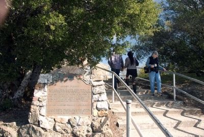
Mount Diablo Marker image. Click for full size.
Photographed By Karen Key, March 8, 2009
2. Mount Diablo Marker
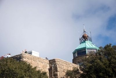
Mount Diablo Summit Building image. Click for full size.
Photographed By Karen Key, March 8, 2009
3. Mount Diablo Summit Building
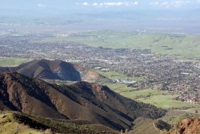
View from the Summit Observation Deck image. Click for full size.
Photographed By Karen Key, March 8, 2009
4. View from the Summit Observation Deck
Mt. Zion Diabase Quarry to the North
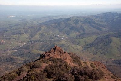
View from the Summit Observation Deck image. Click for full size.
Photographed By Karen Key, March 8, 2009
5. View from the Summit Observation Deck
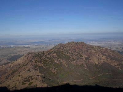
Looking Southeast
View from the Summit Observation Deck image. Click for full size.
Photographed By Karen Key, March 8, 2009
6. View from the Summit Observation Deck
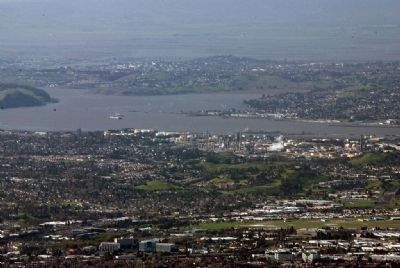
Looking Northwest to the Bay
View from the Summit Observation Deck image. Click for full size.
November 21, 2007
7. View from the Summit Observation Deck
Looking Northeast towards Sacramento.
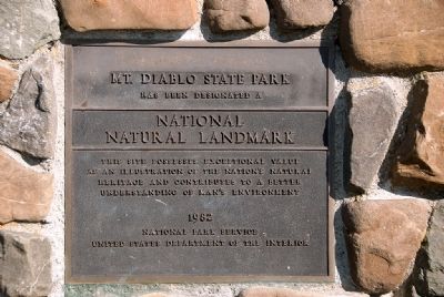
Mount Diablo National Natural Landmark Marker image. Click for full size.
Photographed By Karen Key, March 8, 2009
8. Mount Diablo National Natural Landmark Marker
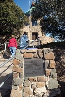
Mount Diablo National Natural Landmark Marker image. Click for full size.
Photographed By Karen Key, March 8, 2009
9. Mount Diablo National Natural Landmark Marker
View of North Peak of Mount Diablo from Marsh Creek Springs image. Click for full size.
March 22, 2009
10. View of North Peak of Mount Diablo from Marsh Creek Springs
 
 
Credits. This page was last revised on November 3, 2019. It was originally submitted on April 2, 2009, by Karen Key of Sacramento, California. This page has been viewed 2,650 times since then and 70 times this year. Photos:   1, 2, 3, 4, 5, 6. submitted on April 2, 2009, by Karen Key of Sacramento, California.   7. submitted on April 5, 2009.   8, 9. submitted on April 2, 2009, by Karen Key of Sacramento, California.   10. submitted on April 5, 2009.
Share this page.  
Share on Tumblr
m=17541

CeraNet Cloud Computing sponsors the Historical Marker Database.
This website earns income from purchases you make after using our links to Amazon.com. We appreciate your support.
Paid Advertisement
Apr. 23, 2024