Near Petersburg in Dinwiddie County, Virginia — The American South (Mid-Atlantic)
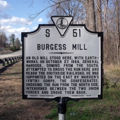
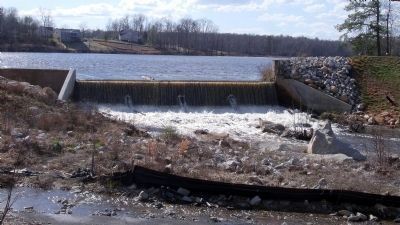
Burgess Mill
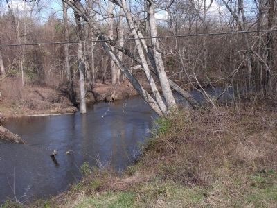
An old mill stood here, with earthworks. On October 27, 1864, General Hancock, coming from the south, attempted to cross the run here and reach the Southside Railroad. He was supported on the east by Warren's (Fifth) Corps. The Confederates, crossing the run from the north side, intervened between the two Union forces and drove them back.
Erected 1946 by Virginia Conservation Commission. (Marker Number S-51.)
Topics and series. This historical marker is listed in this topic list: War, US Civil. In addition, it is included in the Virginia Department of Historic Resources (DHR) series list. A significant historical month for this entry is October 1865.
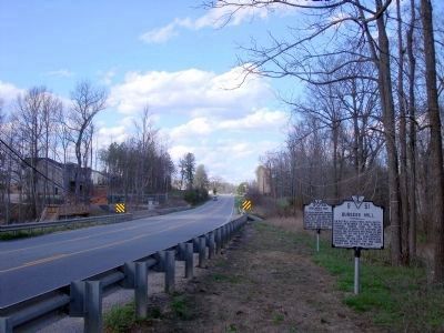
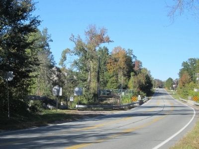
Location. 37° 9.179′ N, 77° 31.042′ W. Marker is near Petersburg, Virginia, in Dinwiddie County. Marker is on Boydton Plank Road (U.S. 1) 0.3 miles north of White Oak Road, on the right when traveling north. Touch for map. Marker is in this post office area: Petersburg VA 23803, United States of America. Touch for directions.
Other nearby markers. At least 8 other markers are within 2 miles of this marker, measured as the crow flies. Hatcher's Run (a few steps from this marker); White Oak Road (approx. 0.3 miles away); Cattle (Beefsteak) Raid (approx. 0.3 miles away); Gravelly Run Quaker Meeting House (approx. 1.2 miles away); Raceland (approx. 1.2 miles away); Hatcher's Run Battlefields (approx. 1.2 miles away); a different marker also named Hatcher's Run Battlefields (approx. 1.4 miles away); The Battle of White Oak Road (approx. 1.6 miles away). Touch for a list and map of all markers in Petersburg.
Also see . . .
1. Battle of Burgess Mill. National Park Service, Petersburg National Battlefield website entry (Submitted on February 3, 2024, by Larry Gertner of New York, New York.)
2. The Battle of Boydton Plank Road: October 27-28, 1864. The Siege of Petersburg Online (Submitted on August 30, 2021.)
Credits. This page was last revised on February 3, 2024. It was originally submitted on April 6, 2009, by Bernard Fisher of Richmond, Virginia. This page has been viewed 2,108 times since then and 77 times this year. Last updated on August 29, 2021, by Bradley Owen of Morgantown, West Virginia. Photos: 1, 2. submitted on April 6, 2009, by Bernard Fisher of Richmond, Virginia. 3. submitted on October 19, 2014, by Bernard Fisher of Richmond, Virginia. 4, 5. submitted on April 6, 2009, by Bernard Fisher of Richmond, Virginia.
