Old Town in Dixie County, Florida — The American South (South Atlantic)
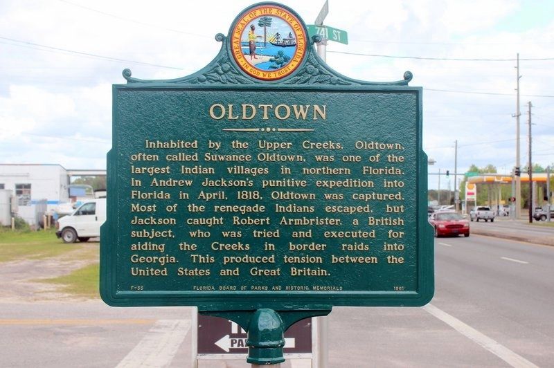
Oldtown
Erected 1961 by Florida Board of Parks and Historic Memorials. (Marker Number F-55.)
Topics and series. This historical marker is listed in these topic lists: Native Americans • Settlements & Settlers • Wars, US Indian. In addition, it is included in the Former U.S. Presidents: #07 Andrew Jackson series list. A significant historical month for this entry is April 1818.
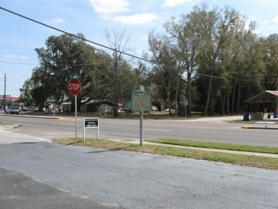
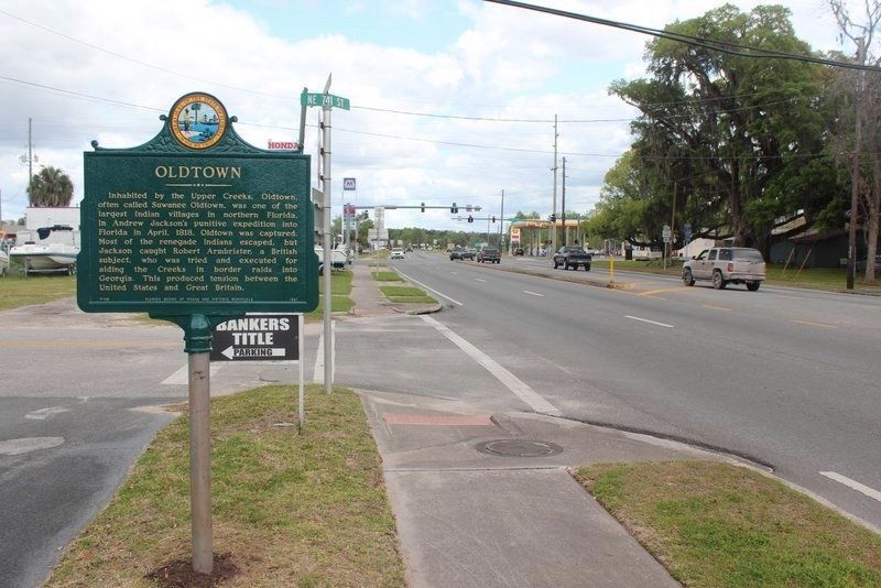
Location. 29° 36.111′ N, 82° 58.977′ W. Marker is in Old Town, Florida, in Dixie County. Marker is at the intersection of U.S. 19 and State Road 349, on the right when traveling west on U.S. 19. Touch for map. Marker is in this post office area: Old Town FL 32680, United States of America. Touch for directions.
Other nearby markers. At least 8 other markers are within 10 miles of this marker, measured as the crow flies. Old Town School (approx. 0.8 miles away); The History of Fort Fanning (approx. 2.9 miles away); Fanning Springs Bridge (approx. 3 miles away); Manatee Spring (approx. 7.8 miles away); Waterfront Dining for Thousands of Years (approx. 7.9 miles away); Sink Trail (approx. 8 miles away); Triumph the Church and Kingdom of God in Christ (approx. 9.1 miles away); Fletcher Community (approx. 9.3 miles away). Touch for a list and map of all markers in Old Town.
Credits. This page was last revised on March 25, 2021. It was originally submitted on April 6, 2009, by Julie Szabo of Oldsmar, Florida. This page has been viewed 2,617 times since then and 121 times this year. Photos: 1. submitted on March 25, 2021, by Tim Fillmon of Webster, Florida. 2, 3. submitted on April 6, 2009, by Julie Szabo of Oldsmar, Florida. 4. submitted on March 25, 2021, by Tim Fillmon of Webster, Florida. • Kevin W. was the editor who published this page.


