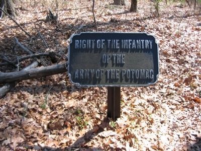
Mount Joy Township near Lake Heritage in Adams County, Pennsylvania — The American Northeast (Mid-Atlantic)
Third Brigade
Second Division - Sixth Corps
— Army of the Potomac —
Inscription.
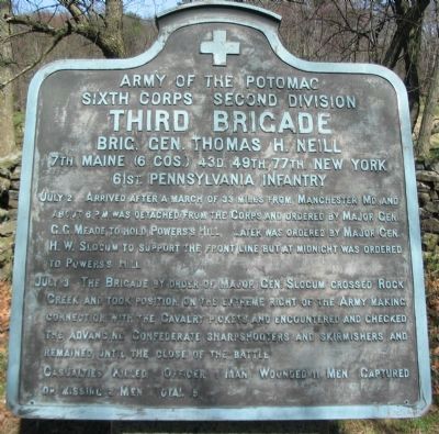
Sixth Corps Second Division
Third Brigade
Brig. Gen. Thomas H. Neill
7th Maine (6 cos.) 43d. 49th. 77th. New York
61st. Pennsylvania Infantry
July 2 Arrived after a march of 33 miles from Manchester Md. and about 6 p.m. was detached from the Corps and ordered by Major Gen. G.G. Meade to hold Powers's Hill. Later was ordered by Major Gen. H.W. Slocum to support the front line but at midnight was ordered to Powers's Hill.
July 3 The Brigade by order of Major Gen. Slocum crossed Rock Creek and took position on the extreme right of the Army making connection with the Cavalry pickets and encountered and checked the advancing Confederate sharpshooters and skirmishers and remained until the close of the battle.
Casualties. Killed 1 officer 1 man. Wounded 11 men. Captured or missing 2 men. Total 15.
Erected 1912 by Gettysburg National Military Park Commission.
Topics. This historical marker is listed in this topic list: War, US Civil. A significant historical month for this entry is March 1865.
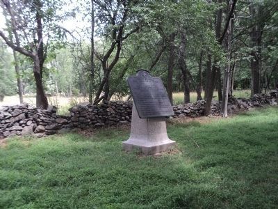
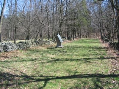
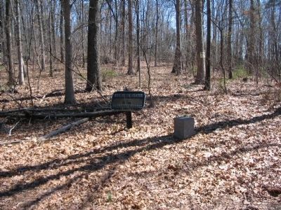
Location. 39° 48.481′ N, 77° 12.584′ W. Marker is near Lake Heritage, Pennsylvania, in Adams County. It is in Mount Joy Township. Marker can be reached from Clapsdale Road, on the left when traveling west. Located on Neill Avenue, or "Lost Lane", in Gettysburg National Military Park. Touch for map. Marker is in this post office area: Gettysburg PA 17325, United States of America. Touch for directions.
Other nearby markers. At least 8 other markers are within walking distance of this marker. 43rd New York Infantry (within shouting distance of this marker); 61st Pennsylvania Infantry (within shouting distance of this marker); 7th Maine Infantry (about 300 feet away, measured in a direct line); 49th New York Infantry (about 500 feet away); Gettysburg Campaign (approx. ¼ mile away); McAllister's Mill (approx. 0.4 miles away); 12th Corps Headquarters (approx. 0.4 miles away); 13th New Jersey Volunteers (approx. 0.4 miles away). Touch for a list and map of all markers in Lake Heritage.
Also see . . .
1. Lost Lane. A tour of Lost Lane with Licensed Battlefield Guide Ted Gajewski, from Gettysburg Daily. (Submitted on April 11, 2009, by Craig Swain of Leesburg, Virginia.)
2. Reports of Brig. Gen. Thomas H. Neill. In his report of the battle, Neill discussed the actions on July 3:
On the morning of the 3d, Major-General Slocum ordered me to take position with two of my regiments on the extreme right of the whole army, and prevent the enemy from turning us. Upon taking position, I felt the enemy strong in sharpshooters, and put my whole brigade in position here, and stopped them from going any farther. Loss, 1 officer and 13 enlisted men killed and wounded. (Submitted on April 11, 2009, by Craig Swain of Leesburg, Virginia.)
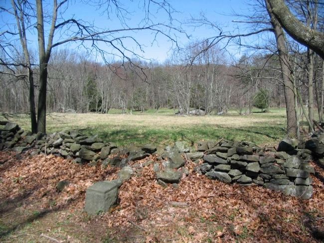
Photographed By Craig Swain, April 4, 2009
4. Neill's Brigade Covers the Federal Right
Looking at the open field north of Neill Avenue. Neill's Brigade deployed from the west of Rock Creek, north of the Baltimore Pike, near the home of Jeremiah Tawney. To the Brigade's right was a skirmish line of the 16th Pennsylvania Cavalry, extending toward the Hanover Road. In front of the Brigade were elements of the 2nd Virginia, of Walker's Confederate Brigade. The fighting in this sector was just skirmishing compared to that on nearby Culp's Hill.
Credits. This page was last revised on February 7, 2023. It was originally submitted on April 11, 2009, by Craig Swain of Leesburg, Virginia. This page has been viewed 1,528 times since then and 26 times this year. Photos: 1. submitted on April 11, 2009, by Craig Swain of Leesburg, Virginia. 2. submitted on July 18, 2014, by Bill Coughlin of Woodland Park, New Jersey. 3, 4, 5, 6. submitted on April 11, 2009, by Craig Swain of Leesburg, Virginia.
