Walnut in Pickaway County, Ohio — The American Midwest (Great Lakes)
Blackburn / Wesner Bridge
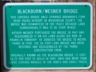
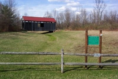
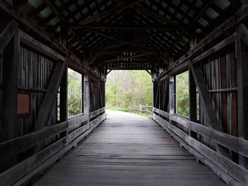
Arthur Wesner purchased the bridge in 1967 and reassembled it on his land along Big Run in Franklin Township. He donated the bridge to Metro Parks in 1998. The 56 foot-long bridge has been restored and reassembled by the Parks construction crew.
Originally known as the Blackburn Bridge, it cost $6.75 per foot to build in 1885. Ohio had more than 3,000 covered bridges in the 1880's and early 1900's.
Erected by Slate Run Metro Park.
Topics and series. This historical marker is listed in this topic list: Bridges & Viaducts. In addition, it is included in the Covered Bridges series list. A significant historical year for this entry is 1967.
Location. 39° 45.717′ N, 82° 50.87′ W. Marker is in Walnut, Ohio, in Pickaway County. Marker is along road leading to the Buzzard's Roost Picnic Area in Slate Run Metro Park, 1375 State Route 674. Park entrance is about one half mile north of intersection with Marcy Road. Touch for map. Marker is in this post office area: Ashville OH 43103, United States of America. Touch for directions.
Other nearby markers. At least 8 other markers are within 6 miles of this marker, measured as the crow flies. A different marker also named Blackburn / Wesner Bridge (approx. 0.6 miles away); Veterans Memorial (approx. 3.4 miles away); Franklin Hills Cemetery Veterans Section (approx. 3.4 miles away); Bloom Township War and Veterans Memorial (approx. 3.6 miles away); Bergstresser/Dietz Covered Bridge (approx. 5 miles away); Ohio's Oldest Active School (approx. 5.8 miles away); Old Canal Winchester School (1862 - 2007) (approx. 5.9 miles away); Faith United Methodist Church (approx. 5.9 miles away).
Credits. This page was last revised on February 3, 2021. It was originally submitted on April 17, 2009, by William Fischer, Jr. of Scranton, Pennsylvania. This page has been viewed 1,000 times since then and 41 times this year. Last updated on February 1, 2021, by Craig Doda of Napoleon, Ohio. Photos: 1, 2. submitted on April 17, 2009, by William Fischer, Jr. of Scranton, Pennsylvania. 3. submitted on February 1, 2021, by Craig Doda of Napoleon, Ohio. • Bill Pfingsten was the editor who published this page.


