Lincoln in Middlesex County, Massachusetts — The American Northeast (New England)
The Midnight Riders
Minute Man National Historical Park, Mass
— National Park Service —
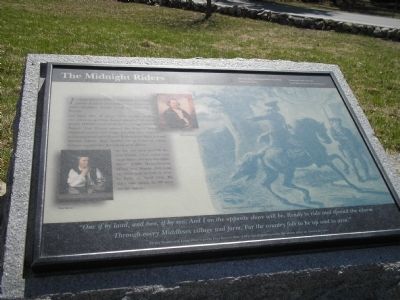
On April 18th, at about 10:00 in the evening, two riders set out from Boston ahead of 700 British troops. William Dawes took the land route south of Boston. Paul Revere crossed the Charles River, obtained a horse, and began his ride. They stopped in Lexington to warn Patriot leaders John Hancock and Samuel Adams, then headed on to Concord, where military supplies for the colony were stored.
As he two men alerted the countryside, other towns sent more riders out into the night. About 4,000 Massachusetts Militia and Minute Men took up arms and arrived in time to fight on April 19th. By day’s end, about 20,000 were on the march.
“One if by land, and two, if by sea; And I on the opposite shore will be, Ready to ride and spread the alarm Through every Middlesex village and farm, For the country folk to be up and to arm.”
Henry Wadsworth Longfellow’s poem Paul Revere’s Ride (1861) has helped make the alarm rider an American icon.
Erected by Minute Man National Historical Park.
Topics. This historical marker is listed in these topic lists: Notable Events • War, US Revolutionary. A significant historical month for this entry is April 1800.
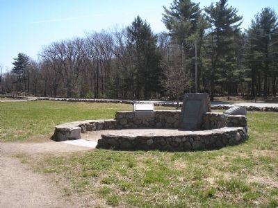
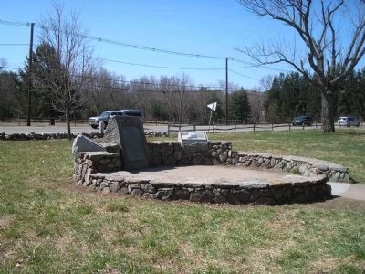
Location. 42° 26.936′ N, 71° 16.786′ W. Marker is in Lincoln, Massachusetts, in Middlesex County. Marker is on N Great Road (Massachusetts Route 2A), on the right when traveling west. Marker is located in Minute Man National Historic Park, along the Battle Road. Touch for map. Marker is in this post office area: Lincoln MA 01773, United States of America. Touch for directions.
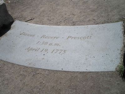
Other nearby markers. At least 8 other markers are within walking distance of this marker. End of Paul Revere’s Midnight Ride (here, next to this marker); The Capture of Paul Revere (here, next to this marker); Weapon of the Day (within shouting distance of this marker); Paul Revere Capture Site (within shouting distance of this marker); Thorning Boulder (approx. ¼ mile away); Josiah Nelson House (approx. 0.4 miles away); Thomas Nelson Jr. House (approx. 0.4 miles away); Minute Man Visitor Center (approx. 0.4 miles away). Touch for a list and map of all markers in Lincoln.
More about this marker. The right side of the marker contains a picture of Paul Revere on horseback, with the caption “Paul Revere stops to warn Hancock and Adams.” Paintings of Paul Revere and William Dawes appear on the left portion of the marker.
Also see . . .
1. Minute Man National Historical Park. National Park Service website. (Submitted on April 18, 2009, by Bill Coughlin of Woodland Park, New Jersey.)
2. Paul Revere’s Ride.
Henry Wadsworth Longfellow’s “Paul Revere’s Ride,” narrated by Warren Oree
Credits. This page was last revised on October 18, 2020. It was originally submitted on April 18, 2009, by Bill Coughlin of Woodland Park, New Jersey. This page has been viewed 1,483 times since then and 33 times this year. Photos: 1, 2, 3, 4. submitted on April 18, 2009, by Bill Coughlin of Woodland Park, New Jersey.


