Concord in Middlesex County, Massachusetts — The American Northeast (New England)
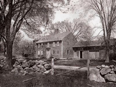
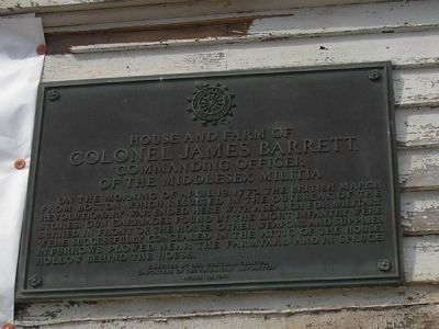
House and Farm of Colonel James Barrett
Commanding Officer of the Middlese Militia
Photographed By Bill Coughlin, April 17, 2009
1. House and Farm of Colonel James Barrett Marker
Four brass cannons, stolen in September of 1774 from under British guard by Boston Patriots and hidden on Col. Barrett's farm, may have been the reason that British troops were sent to Concord on April 19th, 1775. The British never found the cannons at the farm.
Erected 1961 by Daughters of the American Revolution, Old Concord Chapter.
Topics and series. This historical marker is listed in these topic lists: Agriculture • Settlements & Settlers • War, US Revolutionary. In addition, it is included in the Daughters of the American Revolution series list. A significant historical date for this entry is April 19, 1842.
Location. 42° 28.373′ N, 71° 22.846′ W. Marker is in Concord, Massachusetts, in Middlesex County. Marker is at the intersection of Barretts Mill Road and Strawberry Hill Road, on the right when traveling west on Barretts Mill Road. Touch for map. Marker is at or near this postal address: 440 Barretts Mill Road, Concord MA 01742, United States of America. Touch for directions.
Other nearby markers. At least 8 other markers are within 2 miles of this marker, measured as the crow flies. Acton Minutemen (approx. 0.8 miles away); Captain David Brown House Site (approx. 1.4 miles away); a different marker also named Acton Minutemen (approx. 1.4 miles away); Major John Buttrick (approx. 1.4 miles away); Major John Buttrick House (approx. 1.4 miles away); The Road to Colonel Barrett’s (approx. 1.4 miles away); The Muster Field (approx. 1.4 miles away); The North Bridge (approx. 1.4 miles away). Touch for a list and map of all markers in Concord.
Also see . . .
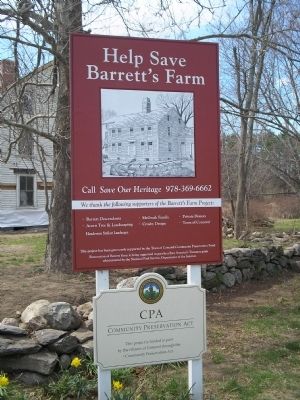
1. Save Our Heritage – Help Save Barrett’s Farm. Protecting the birthplace of the American Revolution, the cradle of the American Environmental Movement, and the home of the American Literacy Renaissance. (Submitted on April 19, 2009, by Bill Coughlin of Woodland Park, New Jersey.)
2. Minute Man National Historical Park. National Park Service website. (Submitted on April 19, 2009, by Bill Coughlin of Woodland Park, New Jersey.)
3. The Battle of Concord. The American Revolutionary War website. (Submitted on May 7, 2009, by Bill Coughlin of Woodland Park, New Jersey.)
Photographed By Bill Coughlin, April 17, 2009
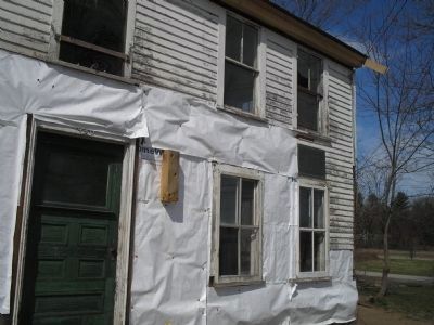
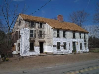
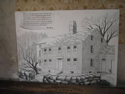
7. Barrett Farm
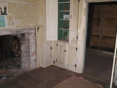
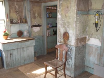
Historic sites where great events took place have the power to evoke the ghosts and echoes of our inexpressibly wise past. Barrett's Farm is such a place. Please join me in supporting the effort to save Barrett's Farm, so that it can take its rightful place with other landmarks in telling the story of the first day of the American Revolution.
- Ken Burns
Credits. This page was last revised on October 10, 2020. It was originally submitted on April 19, 2009, by Bill Coughlin of Woodland Park, New Jersey. This page has been viewed 4,141 times since then and 50 times this year. Photos: 1, 2, 3, 4, 5, 6, 7. submitted on April 19, 2009, by Bill Coughlin of Woodland Park, New Jersey. 8. submitted on April 23, 2009, by Bill Coughlin of Woodland Park, New Jersey.
