Fremont in Sandusky County, Ohio — The American Midwest (Great Lakes)
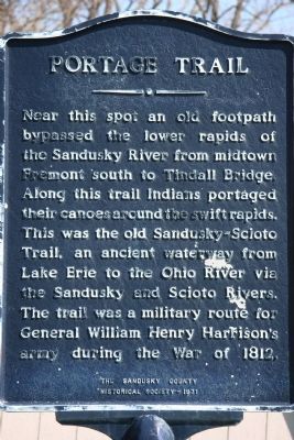
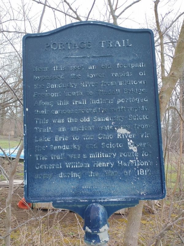
Portage Trail
Erected 1971 by the Sandusky County Historical Society.
Topics and series. This historical marker is listed in these topic lists: Native Americans • Roads & Vehicles • War of 1812 • Waterways & Vessels. In addition, it is included in the Former U.S. Presidents: #09 William Henry Harrison series list. A significant historical year for this entry is 1812.
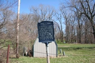
Location. 41° 19.287′ N, 83° 9.243′ W. Marker is in Fremont, Ohio, in Sandusky County. Marker is on South River Road, on the right when traveling north. Touch for map. Marker is at or near this postal address: 2139 South River Road, Fremont OH 43420, United States of America. Touch for directions.
Other nearby markers. At least 8 other markers are within 2 miles of this marker, measured as the crow flies. Ball’s Battlefield (approx. 0.7 miles away); Sisters of Mercy (approx. 1.4 miles away); Sandusky-Scioto Trail (approx. 1˝ miles away); Harold R. Balsizer (approx. 1.6 miles away); Robert R. Benner (approx. 1.6 miles away); Arthur N. Berry (approx. 1.6 miles away); Henry H. Clayton (approx. 1.6 miles away); Phillip Bowe (approx. 1.6 miles away). Touch for a list and map of all markers in Fremont.
More about this marker. This marker is located just south of present day Fremont (and of what was once the site of Fort Stephenson), near the west bank of the historic Sandusky River.
Related markers. Click here for a list of markers that are related to this marker. To better understand the relationship, study each marker in the order shown.
Credits. This page was last revised on April 17, 2022. It was originally submitted on April 22, 2009, by Dale K. Benington of Toledo, Ohio. This page has been viewed 1,501 times since then and 51 times this year. Photos: 1. submitted on April 22, 2009, by Dale K. Benington of Toledo, Ohio. 2. submitted on April 8, 2022, by Craig Doda of Napoleon, Ohio. 3, 4. submitted on April 22, 2009, by Dale K. Benington of Toledo, Ohio. • Christopher Busta-Peck was the editor who published this page.


