Queensbury in Warren County, New York — The American Northeast (Mid-Atlantic)
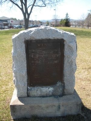
Wing Memorial
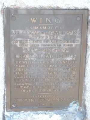
Abraham and Edward Wing
Pioneers
in the Town of Queensbury
They were descended from
Rev. John Wing
and
Deborah Batchelder
She with four sons came to America in 1632. In 1762 King George gave a grant of the Town of Queensbury to Abraham and Edward Wing and others. About 1785 the Society of Friends built a log meeting house on this ground. Here was kept the first school, here was the first burial ground of the pioneer fathers.
Erected 1911 by the Wing descendents.
Topics. This historical marker and memorial is listed in this topic list: Settlements & Settlers. A significant historical year for this entry is 1632.
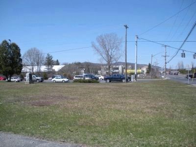
Location. 43° 19.917′ N, 73° 39.183′ W. Marker is in Queensbury, New York, in Warren County. Marker is at the intersection of Quaker Road (New York State Route 254) and Bay Road, on the right when traveling east on Quaker Road. Southwest corner of the intersection. Touch for map. Marker is in this post office area: Queensbury NY 12804, United States of America. Touch for directions.
Other nearby markers. At least 8 other markers are within walking distance of this marker. Old Quaker Burying Ground (here, next to this marker); Half Way Brook (approx. half a mile away); a different marker also named Half Way Brook (approx. 0.7 miles away); Gen. Henry Knox Trail (approx. ¾ mile away); Peace and Victory Monument (approx. 0.8 miles away); Korean War Monument (approx. 0.8 miles away); Global War on Terrorism (approx. 0.9 miles away); Henry Crandall (approx. 0.9 miles away). Touch for a list and map of all markers in Queensbury.
Credits. This page was last revised on June 16, 2016. It was originally submitted on April 23, 2009, by John Farrell of Lake George, New York. This page has been viewed 998 times since then and 22 times this year. Last updated on April 24, 2009, by John Farrell of Lake George, New York. Photos: 1, 2, 3. submitted on April 20, 2009, by John Farrell of Lake George, New York. • Kevin W. was the editor who published this page.


