Near Goochland in Goochland County, Virginia — The American South (Mid-Atlantic)
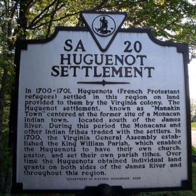
Huguenot Settlement
Erected 2003 by Department of Historic Resources. (Marker Number SA-20.)
Topics and series. This historical marker is listed in these topic lists: Colonial Era • Native Americans • Settlements & Settlers. In addition, it is included in the Virginia Department of Historic Resources (DHR) series list. A significant historical year for this entry is 1700.
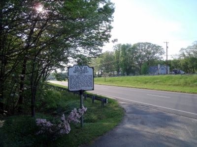
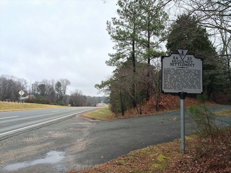
Location. 37° 36.082′ N, 77° 42.512′ W. Marker is near Goochland, Virginia, in Goochland County. Marker is on River Road West (Virginia Route 6) 0.2 miles east of Boscobel Road, on the right when traveling east. This marker is located at the foot of a private driveway. Touch for map. Marker is in this post office area: Manakin Sabot VA 23103, United States of America. Touch for directions.
Other nearby markers. At least 8 other markers are within 3 miles of this marker, measured as the crow flies. First Baptist Church (approx. 0.3 miles away); Mowhemcho-Manakin Town (approx. 2˝ miles away); a different marker also named Huguenot Settlement (approx. 2˝ miles away); The Huguenot Monument (approx. 2˝ miles away); Huguenot Springs Confederate Cemetery (approx. 2.7 miles away); Terre Haute Farm African American Cemetery (approx. 2.8 miles away); Huguenot Springs (approx. 2.9 miles away); Our Confederate Dead (approx. 2.9 miles away).
Also see . . . The Huguenot Society of the Founders of Manakin in the Colony of Virginia. (Submitted on April 28, 2009.)
Credits. This page was last revised on January 13, 2022. It was originally submitted on April 27, 2009, by Bernard Fisher of Richmond, Virginia. This page has been viewed 2,880 times since then and 119 times this year. Photos: 1, 2. submitted on April 27, 2009, by Bernard Fisher of Richmond, Virginia. 3. submitted on January 12, 2022, by Adam Margolis of Mission Viejo, California.


