Columbus in Hickman County, Kentucky — The American South (East South Central)
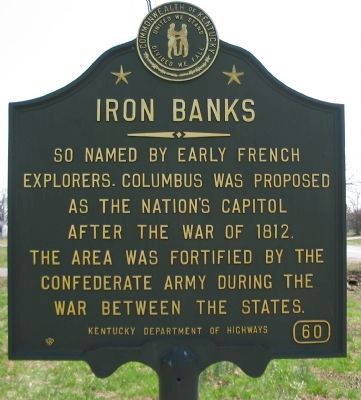
Iron Banks
Erected by Kentucky Department of Highways. (Marker Number 60.)
Topics and series. This historical marker is listed in these topic lists: Exploration • War, US Civil. In addition, it is included in the Kentucky Historical Society series list. A significant historical year for this entry is 1812.
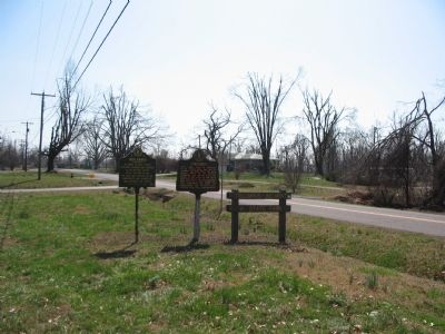
Location. 36° 45.468′ N, 89° 6.268′ W. Marker is in Columbus, Kentucky, in Hickman County. Marker is at the intersection of Hoover Parkway (State Highway 80/123) and State Highway 58, in the median on Hoover Parkway. Touch for map. Marker is in this post office area: Columbus KY 42032, United States of America. Touch for directions.
Other nearby markers. At least 8 other markers are within walking distance of this marker. Columbus (here, next to this marker); Columbus - A Town Transformed (approx. 0.6 miles away); A River View of History (approx. 0.6 miles away); Earthquakes Along the Mississippi (approx. 0.6 miles away); The Battle at Belmont, Missouri (approx. 0.6 miles away); The History of Columbus, Kentucky (approx. 0.6 miles away); African Americans at Columbus during the Civil War (approx. 0.6 miles away); Fourth United States Colored Heavy Artillery (approx. 0.7 miles away). Touch for a list and map of all markers in Columbus.
Credits. This page was last revised on October 30, 2020. It was originally submitted on April 30, 2009, by Craig Swain of Leesburg, Virginia. This page has been viewed 1,467 times since then and 21 times this year. Photos: 1, 2, 3. submitted on April 30, 2009, by Craig Swain of Leesburg, Virginia.


