Near Richmond in Henrico County, Virginia — The American South (Mid-Atlantic)
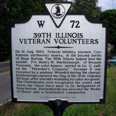
39th Illinois Veteran Volunteers
Erected 1995 by Department of Historic Resources. (Marker Number W-72.)
Topics and series. This historical marker is listed in this topic list: War, US Civil. In addition, it is included in the Virginia Department of Historic Resources (DHR) series list. A significant historical date for this entry is August 16, 1864.
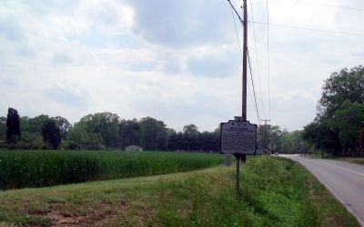
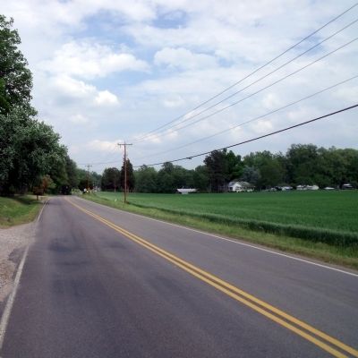
Location. 37° 27.022′ N, 77° 17.227′ W. Marker is near Richmond, Virginia, in Henrico County. Marker is on Darbytown Road, 0.1 miles east of Yahley Mill Road, on the right when traveling east. Touch for map. Marker is at or near this postal address: 4500 Darbytown Rd, Henrico VA 23231, United States of America. Touch for directions.
Other nearby markers. At least 8 other markers are within 3 miles of this marker, measured as the crow flies . 48th Alabama Regiment Monument (approx. 0.2 miles away); Second Battle of Deep Bottom (approx. ¼ mile away); Darby House (approx. 1.7 miles away); Sad Reunion (approx. 1.7 miles away); Pleasants v. Pleasants (approx. 1.9 miles away); New Market Road (approx. 2 miles away); Gravel Hill (approx. 2 miles away); The War of 1812 / Richmond's War of 1812 Defensive Camps (approx. 2.1 miles away). Touch for a list and map of all markers in Richmond.
Also see . . .
1. Henry M. Hardenbergh. (Submitted on May 1, 2009.)
2. Hardenbergh, Henry M. Congressional Medal of Honor Society (Submitted on May 1, 2009.)
3. Richmond Battlefields Association. This local battlefield preservation group has saved 60 acres of the Second Deep Bottom Battlefield (Fussell's Mill). (Submitted on June 20, 2013.)
Credits. This page was last revised on November 13, 2021. It was originally submitted on May 1, 2009, by Bernard Fisher of Richmond, Virginia. This page has been viewed 1,569 times since then and 37 times this year. Last updated on November 10, 2021, by Bradley Owen of Morgantown, West Virginia. Photos: 1, 2, 3. submitted on May 1, 2009, by Bernard Fisher of Richmond, Virginia.


