Near Wickliffe in Ballard County, Kentucky — The American South (East South Central)
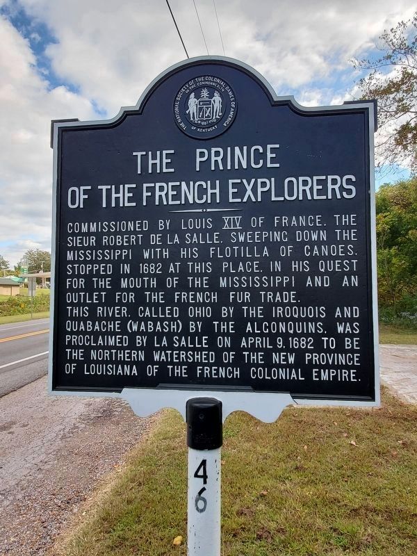
The Prince of the French Explorers
Commissioned by Louis XIV of France, the Sieur Robert de LaSalle, sweeping down the Mississippi with his flotilla of canoes, stopped in 1682 at this place, in his quest for the mouth of the Mississippi and an outlet for the French fur trade. This river, called Ohio by the Iroquois and Quabache (Wabash) by the Algonquins, was proclaimed by LaSalle, April 9, 1682, to be the northern watershed of the New Province of Louisiana of the French Colonial Empire.
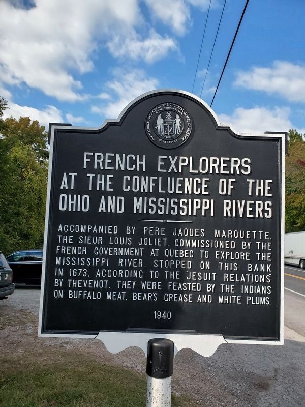
(South Side):
Accompanied by Pere Jacques Marquette, the Sieur Louis Joliet, commissioned by the French Government at Quebec to explore the Mississippi River, stopped on this bank in 1673, according to the "Jesuit Relations" by Thevenot. They were feasted by the Indians on buffalo meat, bear's grease and white plums.
Erected 1940 by Kentucky Historical Society. (Marker Number 46.)
Topics and series. This historical marker is listed in this topic list: Exploration. In addition, it is included in the Kentucky Historical Society series list. A significant historical date for this entry is April 9, 1779.
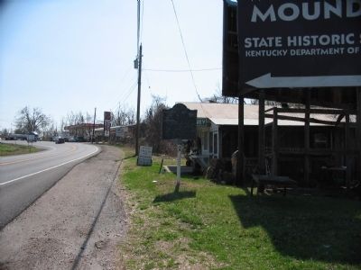
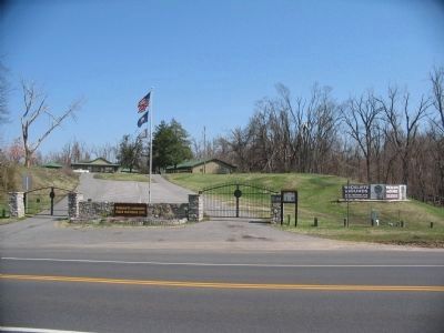
Location. 36° 58.204′ N, 89° 5.609′ W. Marker is near Wickliffe, Kentucky, in Ballard County. Marker is on Green Street (U.S. 51/62), on the right when traveling south. Located in front of Wickliffe Mounds State Historic Site. Touch for map. Marker is in this post office area: Wickliffe KY 42087, United States of America. Touch for directions.
Other nearby markers. At least 8 other markers are within walking distance of this marker. King Mounds (about 400 feet away, measured in a direct line); Ceremonial Mound (about 400 feet away); Welcome to Wickliffe Mounds (about 400 feet away); Burial Mound (about 600 feet away); Private First Class Robert Monroe Hammonds (approx. 0.4 miles away); County Named, 1842 (approx. 0.4 miles away); Lewis & Clark at Old Fort Jefferson (approx. 0.9 miles away); Fort Jefferson Memorial Cross at the Confluence (approx. 0.9 miles away). Touch for a list and map of all markers in Wickliffe.
Also see . . .
1. Wickliffe Mounds State Historic Site. Discover Kentucky Archeology website entry (Submitted on May 2, 2009, by Craig Swain of Leesburg, Virginia.)
2. La Salle. Wikipedia entry detailing the life and explorations of LaSalle. (Submitted on May 2, 2009, by Craig Swain of Leesburg, Virginia.)
Credits. This page was last revised on December 12, 2023. It was originally submitted on May 2, 2009, by Craig Swain of Leesburg, Virginia. This page has been viewed 2,039 times since then and 50 times this year. Photos: 1, 2. submitted on October 20, 2023, by Mark Parker of Hickory, North Carolina. 3, 4, 5, 6. submitted on May 2, 2009, by Craig Swain of Leesburg, Virginia.
