Daisy in Evans County, Georgia — The American South (South Atlantic)
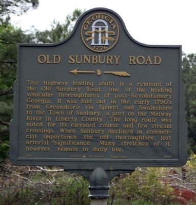
Old Sunbury Road
←——«
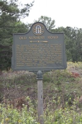
The highway leading south is a remnant of the Old Sunbury Road, one of the leading vehicular thoroughfares of post-Revolutionary Georgia. It was laid out in the early 1790's from Greensboro via Sparta and Swainsboro to the Town of Sunbury, a port on the Midway River in Liberty County. The long route was noted for its elevated course and few stream crossings. When Sunbury declined in commercial importance the old thoroughfare lost arterial significance. Many stretches of it however, remain in daily use.
Erected 1956 by Georgia Historical Commission. (Marker Number 054-3.)
Topics and series. This historical marker is listed in these topic lists: Landmarks • Roads & Vehicles. In addition, it is included in the Georgia Historical Society series list.
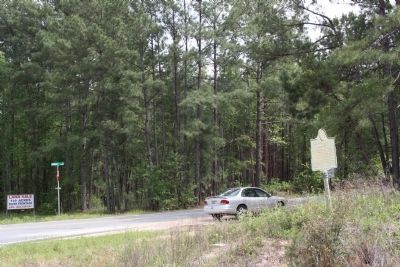
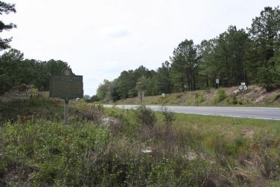
Location. 32° 9.009′ N, 81° 47.589′ W. Marker is in Daisy, Georgia, in Evans County. Marker is at the intersection of U.S. 280 and Sunbury Road, on the right when traveling east on U.S. 280. 2.4 miles east of Daisy. Touch for map. Marker is in this post office area: Daisy GA 30423, United States of America. Touch for directions.
Other nearby markers. At least 8 other markers are within 10 miles of this marker, measured as the crow flies. Daisy United Methodist Church (approx. 2.6 miles away); Evans County (approx. 6.7 miles away); Dedicated to All Who Served (approx. 6.7 miles away); Claxton First United Methodist Church (approx. 6.9 miles away); Nevils Station & Shearwood Railroad (approx. 8.2 miles away); The DeLoach House (approx. 8.2 miles away); Bryan County (approx. 10.1 miles away); a different marker also named Bryan County (approx. 10.1 miles away).
Related markers. Click here for a list of markers that are related to this marker. study markers shown for relationship
Also see . . . Ghost Town of Sunbury, Georgia: Georgia Town of the Revolution. Explore Southern History entry (Submitted on January 29, 2021, by Larry Gertner of New York, New York.)
Credits. This page was last revised on February 23, 2024. It was originally submitted on May 4, 2009, by Mike Stroud of Bluffton, South Carolina. This page has been viewed 1,296 times since then and 24 times this year. Photos: 1, 2, 3, 4. submitted on May 4, 2009, by Mike Stroud of Bluffton, South Carolina. • Craig Swain was the editor who published this page.


