Gloucester Point in Gloucester County, Virginia — The American South (Mid-Atlantic)
Natives, Explorers, Tobacco and Buccaneers
The Early History of Gloucester Point
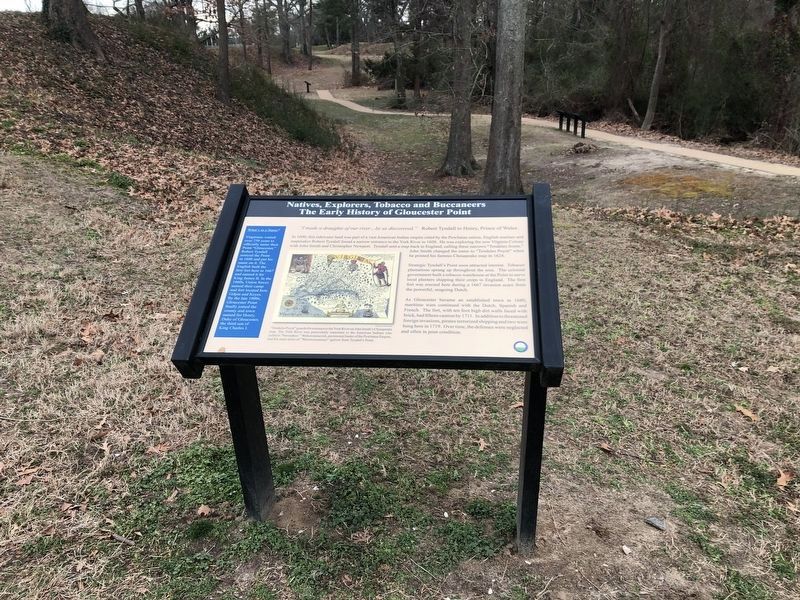
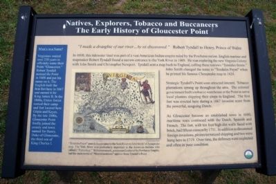
In 1600, this tidewater land was part of a vast American Indian empire ruled by the Powhatan nation. English mariner and mapmaker Robert Tyndall found a narrow entrance to the York River in 1608. He was exploring the new Virginia Colony with John Smith and Christopher Newport. Tyndall sent a map back to England, calling these narrows “Tendales fronte.” John Smith changed the name to ‘Tendales Poynt” when he printed his famous Chesapeake map in 1624.
Strategic Tyndall’s Point soon attracted interest. Tobacco plantations sprang up throughout the area. The colonial government built a tobacco warehouse at the Point to serve local planters shipping their crops to England. The first fort was erected here during a 1667 invasion scare from the powerful, seagoing Dutch.
As Gloucester became an established town in 1680, maritime wars continued with the Dutch, Spanish and French. The fort, with ten foot high dirt walls faced with brick, had fifteen cannon by 1711. In addition to threatened foreign invasions, pirates terrorized shipping and two were hung here in 1719. Over time, the defenses were neglected and often in poor condition.
(sidebar)
What’s in a Name?
Virginians waited over 250 years to officially name their Point “Gloucester.” Robert Tyndall noticed the Point in 1608 and put his name on it. The English built the first fort here in 1667 and named it for King James II. In the 1860s, Union forces named their camp and fort located here Gilpin and Keyes. By the late 1800s, Gloucester Point finally joined the county and town named for Henry, Duke of Gloucester, the third son of King Charles I.
Erected by Gloucester County.
Topics. This historical marker is listed in these topic lists: Exploration • Native Americans • Settlements & Settlers. A significant historical year for this entry is 1600.
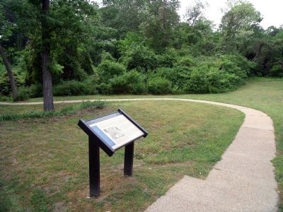
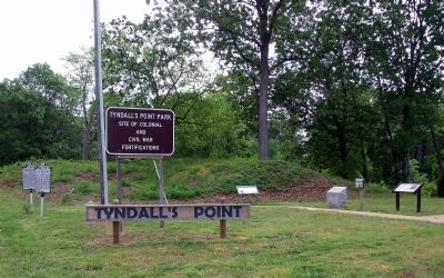
Location. 37° 15.029′ N, 76° 30.09′ W. Marker is in Gloucester Point, Virginia, in Gloucester County. Marker can be reached from Vernon Street near Riverview Street. The marker is on the Tyndall’s Point Park Walkway. Touch for map. Marker is at or near this postal address: 1376 Vernon Street, Gloucester Point VA 23062, United States of America. Touch for directions.
Other nearby markers. At least 8 other markers are within walking distance of this marker. Parts of a Parrott Rifle (a few steps from this marker); After the Surrender at Yorktown (a few steps from this marker); A Vital British Outpost at Gloucester Point (a few steps from this marker); Welcome to Gloucester Point (a few steps from this marker); The British Safety Valve (a few steps from this marker); Gloucester Point (a few steps from this marker); a different marker also named Gloucester Point (a few steps from this marker); Early Land Patent (a few steps from this marker). Touch for a list and map of all markers in Gloucester Point.
More about this marker. On the lower left is the 1624 Chesapeake Map with the caption, “Tendales Poynt” guards the entrance to the York River on John Smith’s Chesapeake map. The York River was particularly important to the American Indians who calle dit “Pamunkey.” Wahunsunacock, paramount leader of the Powhatan Empire, had his main town of “Werowocomoco” upriver from Tyndall’s Point. Courtesy of John Sutton

Photographed By Devry Becker Jones (CC0), February 26, 2021
3. Natives, Explorers, Tobacco and Buccaneers Marker
Credits. This page was last revised on November 5, 2021. It was originally submitted on May 7, 2009, by Bernard Fisher of Richmond, Virginia. This page has been viewed 1,039 times since then and 13 times this year. Photos: 1, 2. submitted on May 7, 2009, by Bernard Fisher of Richmond, Virginia. 3. submitted on March 1, 2021, by Devry Becker Jones of Washington, District of Columbia. 4. submitted on May 7, 2009, by Bernard Fisher of Richmond, Virginia.


