Gloucester Point in Gloucester County, Virginia — The American South (Mid-Atlantic)
Attacking with “Decisive Vigor”
The Battle of the Hook
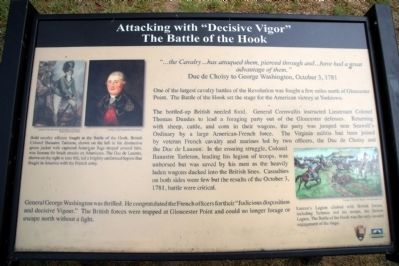
“…the Cavalry…has attaqued them, pierced through and…have had a great advantage of them.” Duc de Choisy to George Washington, October 3, 1781
One of the largest cavalry battles of the Revolution was fought a few miles north of Gloucester Point. The Battle of the Hook set the stage for the American victory at Yorktown.
The bottled-up British needed food. General Cornwallis instructed Lieutenant Colonel Thomas Dundas to lead a foraging party out of the Gloucester defenses. Returning with sheep, cattle, and corn in their wagons, the party was jumped near Seawell’s Ordinary by a large American-French force. The Virginia militia had been joined by veteran French cavalry and marines led by two officers, the Duc de Choisy and the Duc de Lauzun. In the ensuing struggle, Colonel Banastre Tarleton, leading his legion of troops, was unhorsed but was saved by his men as the heavily laden wagons ducked into the British lines. Casualties on both sides were few but the results of the October 3, 1781, battle were critical.
General George Washington was thrilled. He congratulated the French officers for their “Judicious disposition and decisive Vigour.” The British forces were trapped at Gloucester Point and could no longer forage or escape north without a fight.
Erected by National Park Service, Chesapeake Bay Gateways Network.
Topics. This historical marker is listed in this topic list: War, US Revolutionary. A significant historical date for this entry is October 3, 1781.
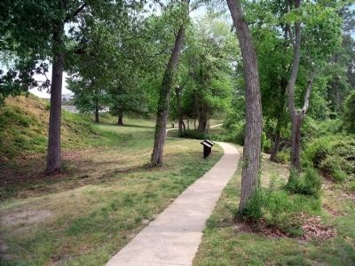
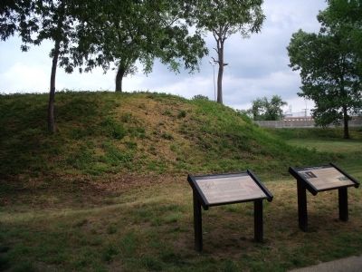
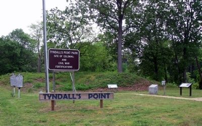
Location. 37° 15.022′ N, 76° 30.11′ W. Marker is in Gloucester Point, Virginia, in Gloucester County. Marker can be reached from Vernon Street near Riverview Street. The marker is on the Tyndall’s Point Park Walkway. Touch for map. Marker is at or near this postal address: 1376 Vernon Street, Gloucester Point VA 23062, United States of America. Touch for directions.
Other nearby markers. At least 8 other markers are within walking distance of this marker. Where North Meets South (here, next to this marker); On to Richmond! (a few steps from this marker); Parts of a Parrott Rifle (within shouting distance of this marker); A Vital British Outpost at Gloucester Point (within shouting distance of this marker); The British Safety Valve (within shouting distance of this marker); Natives, Explorers, Tobacco and Buccaneers (within shouting distance of this marker); Welcome to Gloucester Point (within shouting distance of this marker); Gloucester Point (within shouting distance of this marker). Touch for a list and map of all markers in Gloucester Point.
More about this marker. On the upper left are two paintings with the caption, "Bold cavalry officers fought at the Battle of the Hook. British Colonel Banastre Tarleton, shown on the left in his distinctive green jacket with the captured American flags draped around him, was famous for brash attacks on Americans. The Duc de Lauzun, shown on the right in later life, led a brightly uniformed legion that fought in America with the French army." Courtesy of Anne S.K. Brown Military Collection, Brown University Library and Courtesy of the Virginia Historical Society
On the lower right is a painting with the caption, "Lauzun’s Legion clashed with British forces, including Tarleton and his troop, the British Legion. The Battle of the Hook was the only cavalry engagement of the siege." Courtesy of David R. Wagner, www.drwagner.com
Credits. This page was last revised on June 28, 2021. It was originally submitted on May 7, 2009, by Bernard Fisher of Richmond, Virginia. This page has been viewed 1,216 times since then and 17 times this year. Photos: 1, 2, 3, 4. submitted on May 7, 2009, by Bernard Fisher of Richmond, Virginia.


