Maumee in Lucas County, Ohio — The American Midwest (Great Lakes)
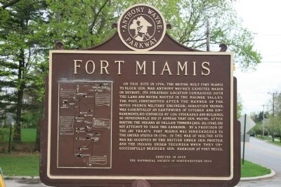
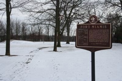
Fort Miamis
Anthony Wayne Parkway
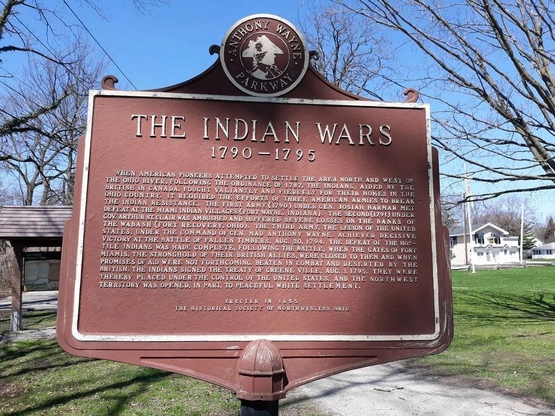
Erected 1955 by The Historical Society of Northwestern Ohio.
Topics. This historical marker is listed in these topic lists: Forts and Castles • Native Americans • War of 1812 • Wars, US Indian. A significant historical year for this entry is 1794.
Location. Marker has been reported permanently removed. It was located near 41° 34.389′ N, 83° 37.615′ W. Marker was in Maumee, Ohio, in Lucas County. Marker was at the intersection of River Road and Michigan Avenue, on the left when traveling south on River Road. This historical marker is located where Michigan Avenue. dead ends into River Road, on the river side of River Road, in a small, Lucas County MetroPark, which is situated along the west side of the Maumee River. Touch for map. Marker was at or near this postal address: 1900 River Road, Maumee OH 43537, United States of America.
We have been informed that this sign or monument is no longer there and will not be replaced. This page is an archival view of what was.
Other nearby markers. At least 8 other markers are within walking distance of this location. Fallen Timbers Battlefield and Fort Miamis National Historic Site (here, next to this marker); 41st Regiment of Foot - War of 1812 / Private Patrick Russell (here, next to this marker); Letters From 1794 / A Strategic Location (a few steps from this marker); The Formidable Fort Miamis (within shouting distance of this marker); A Shattered Truce (about 400 feet away, measured in a direct line); Running A Gauntlet (about 400 feet away); Old Fort, New Battle (about 400 feet away); The Great Trail (approx. ¼ mile away). Touch for a list and map of all markers in Maumee.
More about this marker. The city of Maumee had created a park at the
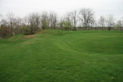
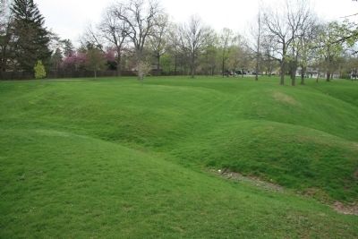
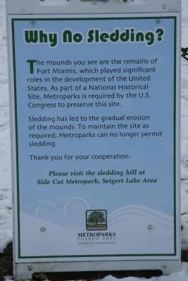
site of Fort Miamis in order to protect and preserve a significant portion of the original earthworks that made up the fortification that is discussed on this historical marker. This park became part of the Lucas County Metropark system, and was recently made a part of the National Park System.
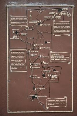
Regarding Fort Miamis. Although all of the land on the south side of the Great Lakes had been ceded to the United States of America in the treaty that concluded the Revolutionary War, the British were so intent upon creating an Indian nation buffer zone between their Canadian holdings and the advancing American settlers that they were willing to build a strong fortification in the ceded territory in order to encourage and support the Native American cause against the expanding American interests into the Ohio country.
The fort that the British built was unique to the many forts built during the "Indian Wars of 1790 to 1795" in that instead of being a wooden stockaded fortification designed to withstand a Native American assault, this fort makes use of extensive earthworks and ditches and is clearly designed with the intention of being able to withstand an assault by a White-European military force. It is interesting to note that prior to his arriving at and viewing Fort Miamis, General Wayne had bragged about his own recently constructed Fort Defiance and stated, "I defy the English, the Indians, and all the devils in Hell to take it." However, after viewing the British fortifications at Fort Miamis, not only did he shy away from assaulting this seemingly impregnable fortification, but upon his return to Fort Defiance he ordered some additional improvements made to its defenses.
Because the city of Maumee, Ohio acted to preserve a significant portion of the earthwork fortifications at Fort Miamis by creating a park, this historic fort site is unique to this period because unlike most of the others, when you visit the site of Fort Miamis you can actually visualize what it must have looked like. Although somewhat time worn the existing earthworks clearly reveal the size, shape, and design of the original fortification.
Also see . . . Fort Miami (Ohio). This is a ink to information provided by Wikipedia, the free encyclopedia. (Submitted on January 16, 2010, by Dale K. Benington of Toledo, Ohio.)
Additional commentary.
1. Relocated marker
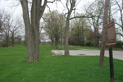
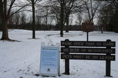
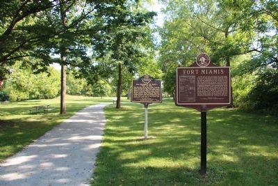
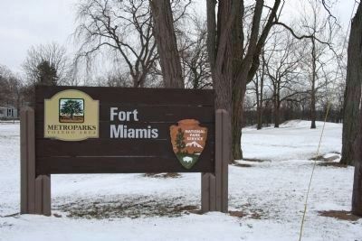
While recently driving past the location of the Fort Miamis site I noticed that there were some changes in the park signs and in the historical marker location. For the very first time I saw that there was a park sign that included the emblem of the
National Park Service and I noticed that the historical marker had been relocated from the north side of the parking lot to the east side.
I have attempted to add some pictures to this web site that that visually display these changes. The new location of the historical marker is not that far away from its old location and it is now situated along the walking path that leads to the Fort Miamis site from the parking lot.
— Submitted January 30, 2010, by Dale K. Benington of Toledo, Ohio.
Credits. This page was last revised on December 2, 2023. It was originally submitted on May 8, 2009, by Dale K. Benington of Toledo, Ohio. This page has been viewed 1,773 times since then and 74 times this year. Last updated on November 17, 2023, by Trevor L Whited of Kokomo, Indiana. Photos: 1, 2. submitted on May 8, 2009, by Dale K. Benington of Toledo, Ohio. 3. submitted on January 29, 2021, by Craig Doda of Napoleon, Ohio. 4. submitted on May 8, 2009, by Dale K. Benington of Toledo, Ohio. 5, 6. submitted on January 30, 2010, by Dale K. Benington of Toledo, Ohio. 7. submitted on September 5, 2014, by Dale K. Benington of Toledo, Ohio. 8, 9. submitted on May 8, 2009, by Dale K. Benington of Toledo, Ohio. 10, 11. submitted on January 30, 2010, by Dale K. Benington of Toledo, Ohio. • Bill Pfingsten was the editor who published this page.
