Harpers Ferry in Jefferson County, West Virginia — The American South (Appalachia)
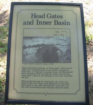
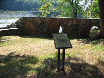
Head Gates and Inner Basin
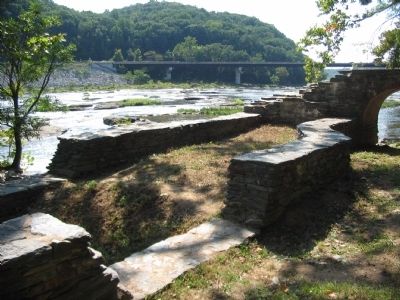
After passing through the head gates, the water was stored in the inner basin until dispersed via raceways and tunnels to the mills and factories. Over time, silt and sand accumulated and eventually filled the basin.
Topics. This historical marker is listed in this topic list: Industry & Commerce. A significant historical year for this entry is 1850.
Location. 39° 19.269′ N, 77° 44.27′ W. Marker is in Harpers Ferry, West Virginia, in Jefferson County. Marker can be reached from Shenandoah Street (Business U.S. 340), on the right when traveling east. Located on Virginius Island in Harpers Ferry National Historic Site. Touch for map. Marker is in this post office area: Harpers Ferry WV 25425, United States of America. Touch for directions.
Other nearby markers. At least 8 other markers are within walking distance of this marker. House Ruins (a few steps from this marker); Railroads (within shouting distance of this marker); River Wall (about 400 feet away, measured in a direct line); Island Mills (about 400 feet away); Jonathan Child House (about 500 feet away); Island Access (about 600 feet away); Shenandoah Pulp Factory (about 800 feet away); Water Tunnels (approx. 0.2 miles away). Touch for a list and map of all markers in Harpers Ferry.
More about this marker. In the upper portion of the marker is a photo captioned Virginius Island's waterpower system in 1882.
Credits. This page was last revised on June 16, 2016. It was originally submitted on May 13, 2009, by Craig Swain of Leesburg, Virginia. This page has been viewed 826 times since then and 12 times this year. Photos: 1, 2, 3. submitted on May 13, 2009, by Craig Swain of Leesburg, Virginia.


