Harpers Ferry in Jefferson County, West Virginia — The American South (Appalachia)
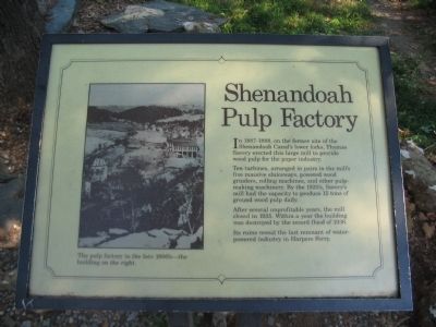
Shenandoah Pulp Factory
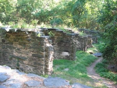
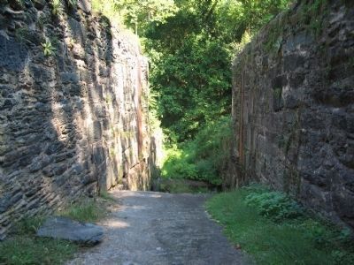
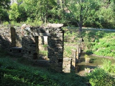
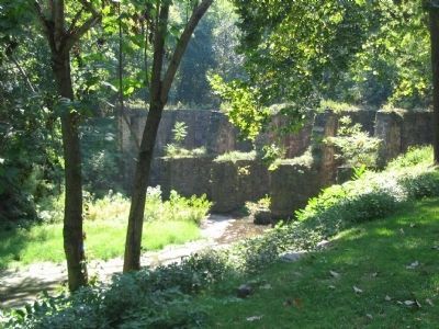
Ten turbines, arranged in pairs in the mill's five massive sluiceways, powered wood grinders, rolling machines, and other pulp-making machinery. By the 1920's, Savery's mill had the capacity to produce 15 tons of ground wood pulp daily.
After several unprofitable years, the mill closed in 1935. Within a year the building was destroyed by the record flood of 1936.
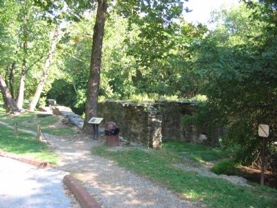
Its ruins reveal the last remnant of water-powered industry in Harpers Ferry.
Topics. This historical marker is listed in this topic list: Industry & Commerce. A significant historical year for this entry is 1935.
Location. 39° 19.332′ N, 77° 44.411′ W. Marker is in Harpers Ferry, West Virginia, in Jefferson County. Marker is on Shenandoah Street (Business U.S. 340), on the right when traveling east. Located on Virginius Island in Harpers Ferry National Historic Site. Touch for map. Marker is in this post office area: Harpers Ferry WV 25425, United States of America. Touch for directions.
Other nearby markers. At least 8 other markers are within walking distance of this marker. John Brown (about 500 feet away, measured in a direct line); Heads versus Hands (about 600 feet away); a different marker also named Heads versus Hands (about 600 feet away); Stephen Tyng Mather (about 600 feet away); Railroads (about 700 feet away); Foundations of Freedom (about 700 feet away); The Second Meeting of the Niagara Movement (about 700 feet away); That was the happiest time of my life. (about 700 feet away). Touch for a list and map of all markers in Harpers Ferry.
More about this marker. On the left is a photo of The pulp factory in the late 1800's - the building on the right.
Credits. This page was last revised on June 16, 2016. It was originally submitted on May 14, 2009, by Craig Swain of Leesburg, Virginia. This page has been viewed 1,095 times since then and 34 times this year. Photos: 1, 2, 3, 4, 5, 6. submitted on May 14, 2009, by Craig Swain of Leesburg, Virginia.
