Marker Logo HMdb.org THE HISTORICAL
MARKER DATABASE
“Bite-Size Bits of Local, National, and Global History”
Groton in New London County, Connecticut — The American Northeast (New England)
 

Covered Way


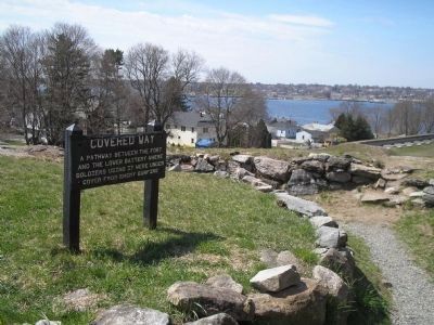
Covered Way Marker image. Click for full size.
Photographed By Bill Coughlin, April 18, 2009
1. Covered Way Marker
Inscription.
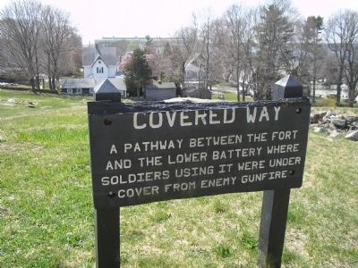
A pathway between the fort and the lower battery where soldiers using it were under cover from enemy gunfire.
 
Topics. This historical marker is listed in these topic lists: Forts and CastlesWar, US Revolutionary.
 
Location. 41° 21.217′ N, 72° 4.791′ W. Marker is in Groton, Connecticut, in New London County. Marker can be reached from Monument Street, on the left when traveling west. Marker is located in Fort Griswold State Battlefield Park. Touch for map. Marker is in this post office area: Groton CT 06340, United States of America. Touch for directions.
 
Other nearby markers. At least 8 other markers are within walking distance of this marker. Death of Major William Montgomery (a few steps from this marker); Col. William Ledyard (within shouting distance of this marker); The Battle of Groton Heights (about 300 feet away, measured in a direct line); The Construction of Fort Griswold (about 300 feet away); Shot Furnace (about 300 feet away); Defenders of Fort Griswold • Sept • 6th 1781 • (about 400 feet away); Powder Magazine (about 400 feet away); Spanish Flagship Gun (about 500 feet away). Touch for a list and map of all markers in Groton.
 
Paid Advertisement
Click on the ad for more information.
Please report objectionable advertising to the Editor.
Click or scan to see
this page online
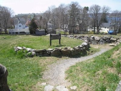
Marker in Fort Griswold image. Click for full size.
Photographed By Bill Coughlin, April 18, 2009
2. Marker in Fort Griswold
The pathway to the lower battery can be seen in this photo.
Covered Way Marker image. Click for full size.
Photographed By Bill Coughlin, April 18, 2009
3. Covered Way Marker
Covered Way from Inside Fort image. Click for full size.
Photographed By Bill Coughlin, April 18, 2009
4. Covered Way from Inside Fort
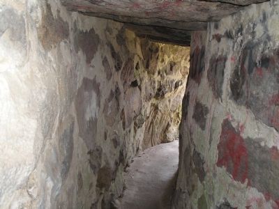
Inside the Covered Way image. Click for full size.
Photographed By Bill Coughlin, April 18, 2009
5. Inside the Covered Way
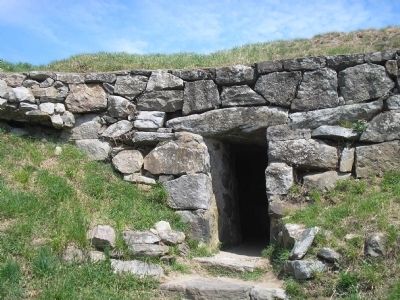
This photo is of the walkway where it passes below the fortifications of Fort Griswold.
Covered Way from Outside of Fort image. Click for full size.
Photographed By Bill Coughlin, April 18, 2009
6. Covered Way from Outside of Fort
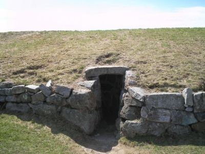
This photo shows the Covered Way from outside of Fort Griswold.
Path to Lower Battery image. Click for full size.
Photographed By Bill Coughlin, April 18, 2009
7. Path to Lower Battery
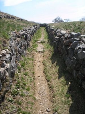
This pathway leads from the fort, through the covered way and down to the lower battery.
 
 
Credits. This page was last revised on February 10, 2023. It was originally submitted on May 16, 2009, by Bill Coughlin of Woodland Park, New Jersey. This page has been viewed 1,246 times since then and 21 times this year. Photos:   1, 2, 3, 4, 5, 6, 7. submitted on May 16, 2009, by Bill Coughlin of Woodland Park, New Jersey.
Share this page.  
Share on Tumblr
m=19053

CeraNet Cloud Computing sponsors the Historical Marker Database.
This website earns income from purchases you make after using our links to Amazon.com. We appreciate your support.
Paid Advertisement
Apr. 23, 2024