Near Middletown in Washington County, Maryland — The American Northeast (Mid-Atlantic)
Washington Monument
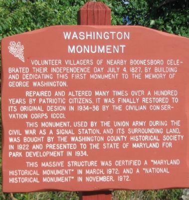
Inscription.
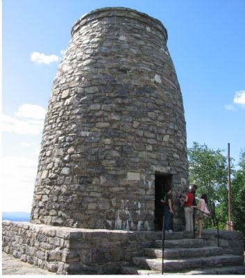
Volunteer villagers of nearby Boonesboro celebrated their Independence Day July 4, 1827, by building and dedicating this first monument to the memory of George Washington.
Repaired and altered many times over a hundred years by patriotic citizens, it was finally restored to its original design in 1934-36 by the Civilian Conservation Corps (CCC).
This monument, used by the Union army during the Civil War as a signal station, and its surrounding land, was bought by the Washington County Historical Society in 1922 and presented to the State of Maryland for park development in 1934.
This massive structure was certified a "Maryland Historical Monument" in March, 1972; and a "National Historical Monument" in November, 1972.
Topics and series. This historical marker and monument is listed in this topic list: Landmarks. In addition, it is included in the Civilian Conservation Corps (CCC), and the Former U.S. Presidents: #01 George Washington series lists. A significant historical month for this entry is March 1972.
Location. 39° 30.026′ N, 77° 37.395′ W. Marker is near Middletown, Maryland, in Washington County. Marker can be reached from Washington Monument Road. Beside the Washington Monument, in Washington Monument State Park. Touch for map. Marker is at or near this postal address: 6620 Washington Monument Trail, Middletown MD 21769, United States of America. Touch for directions.
Other nearby markers. At least 8 other markers are within walking distance of this marker. The First Completed Monument Dedicated to the Memory of George Washington (a few steps from this marker); 1797 / 1799 (within shouting distance of this marker); 1776 / 1777 (within shouting distance of this marker); 1781 / 1783 (within shouting distance of this marker); 1774 / 1775 (about 300 feet away, measured in a direct line); 1789 (about 300 feet away); 1759 / 1758-74 (about 300 feet away); 1749 / 1753-58 (about 400 feet away).
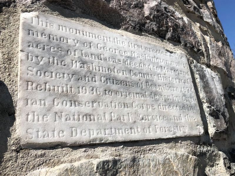
Photographed By Devry Becker Jones (CC0), March 1, 2020
3. Closeup of sign on the monument
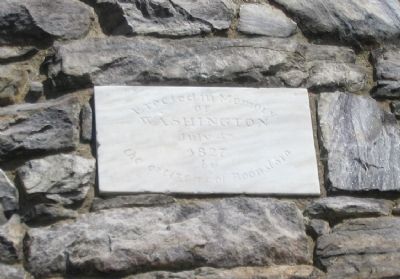
This monument, the first created to the memory of George Washington, with 10 acres of land was deeded to Maryland by the Washington County Historical Society and Citizens of Boonsboro, 1934. Rebuilt, 1936 to original design by Civilian Conservation Corps directed by the National Park Service and the State Department of Forestry
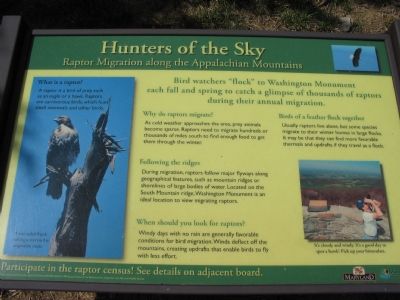
Photographed By Craig Swain, July 21, 2007
5. Raptor Viewing at South Mountain
Given the elevation and surrounding woodlands, Washington Monument State Park is one of the best locations to observe ospreys, eagles, hawks and other raptor species. A separate marker at the trail head tallies raptor sightings within the park.
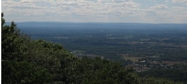
Photographed By Craig Swain, July 21, 2007
6. View from Monument to the Southwest
On the valley floor in the distance is the Antietam Battlefield. Beyond the battlefield the Patomac River weaves around to the west. Many river crossing sites associated with the colonial, revolutionary, and Civil War eras lay within view. The National Road, which crosses South Mountain just south of the monument, passes off to the northwest to the right side of the picture.
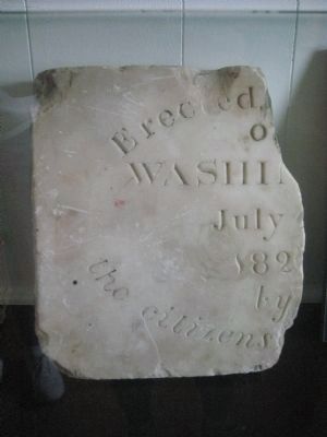
Photographed By F. Robby, May 2, 2009
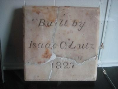
7. Original Dedication Stone
This is half of the original dedication stone from 1827 - the other half is lost. It is kept in the park museum at the base of the short trail to the monument. The current monument stone (photo 4) was set in 1935 by the CCC after it restored the monument.
Credits. This page was last revised on October 6, 2021. It was originally submitted on July 29, 2007, by Craig Swain of Leesburg, Virginia. This page has been viewed 1,911 times since then and 15 times this year. Photos: 1, 2. submitted on July 29, 2007, by Craig Swain of Leesburg, Virginia. 3. submitted on March 1, 2020, by Devry Becker Jones of Washington, District of Columbia. 4, 5, 6. submitted on July 29, 2007, by Craig Swain of Leesburg, Virginia. 7, 8. submitted on May 16, 2009, by F. Robby of Baltimore, Maryland. • J. J. Prats was the editor who published this page.
