Greenville in Greenville County, South Carolina — The American South (South Atlantic)
Church Street
Mayor
City of Greenville
1937-1947
J. Kenneth Cass
Mayor
City of Greenville
1947-1961
C.R. McMillian
Chief Commissioner
S.C. Highway Department
1947-1961
S.N. Pearman
Chief Commissioner
S.C. Highway Department
1961-
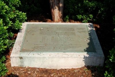
Plans for this multimillion dollar project began in 1944, upon request to the South Carolina Highway Department, by the Mayor and City Council of 1944, for recommendations to relieve Main Street traffic congestion. The Highway Department recommended parallel streets to main street on the east side and the west side, with the street on the east side running from Wade Hampton Boulevard to Augusta Street and the street on the west side running from College Street down Academy Street and over to the intersection of Willis Street and Pendleton Street.
After numerous hearings, discussions, and serious consideration by the mayors, members of city councils, highway officials, members of the Chamber of Commerce and their highway and traffic committees, and members of planning and zoning commissions from 1944-1955, the major crosstown artery was approved.
At a special meetings of Greenville City Council held on July 28, 1955, the Church Street Project was officially and unanimously approved by the following members of the Greenville City Council:
Mayor - J. Kenneth Cass
Ward I - Alderman Robert W. Hunter
Ward II - Alderman Sam F. Floyd
Ward III - Alderman Aug. W. Smith
Ward IV - Alderman Walter L. miller, Jr.
Ward V - Alderman T.R. Machen
Ward VI - Alderman W.H. Power, Sr.
Members and staff of the South Carolina Highway Department from 1944 to 1960,
Greenville Chamber of Commerce officials and members from 1944 to 1960,
Planning and zoning commission members from 1944 to 1960,
And contractors and engineers who handled this project.
Topics. This historical marker is listed in this topic list: Roads & Vehicles. A significant historical month for this entry is July 1747.
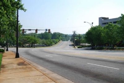
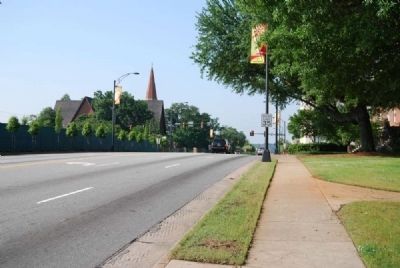
Location. 34° 51.117′ N, 82° 23.667′ W. Marker is in Greenville, South Carolina, in Greenville County. Marker is on Church Street (U.S. 29) 0.1 miles north of East North Street, on the right when traveling south. Touch for map. Marker is at or near this postal address: 305 East North Street, Greenville SC 29601, United States of America. Touch for directions.
Other nearby markers. At least 10 other markers are within walking distance of this marker. Christ Church (Episcopal) (about 400 feet away, measured in a direct line); Here Lieth the Body of Sarah M. Crittenden (about 400 feet away); Frank Selvy (about 600 feet away); "Shoeless" Joe Jackson (about 600 feet away); Little Texas (about 600 feet away); In 1825 (about 600 feet away); Greenville Memorial Auditorium (about 700 feet away); Clayton "Peg Leg" Bates (about 700 feet away); Frank Howard (about 700 feet away); Max Heller Legacy Plaza (approx. 0.2 miles away). Touch for a list and map of all markers in Greenville.
Credits. This page was last revised on November 16, 2020. It was originally submitted on May 21, 2009, by Brian Scott of Anderson, South Carolina. This page has been viewed 1,145 times since then and 21 times this year. Photos: 1, 2, 3. submitted on May 21, 2009, by Brian Scott of Anderson, South Carolina.


