Near Waterville in Lucas County, Ohio — The American Midwest (Great Lakes)
Fort Deposit / Roche de Bout
Anthony Wayne Parkway
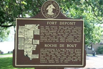
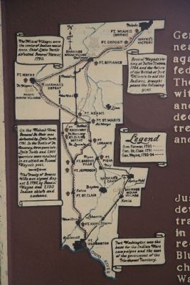
Gen. Mad Anthony Wayne built Fort Deposit near here on Aug. 19, 1794 when advancing against theforces ofthe hostile Indian Confederacy gathered at the foot of the Rapida. The following day, leaving Capt. Zebulon Pike with 200 soldiers to guard his equipment and stores, he routed the Indians in the decisive victory of Fallen Timbers. After treating his wounded, Wayne abandoned the fort and returned up the valley to Fort Defiance.
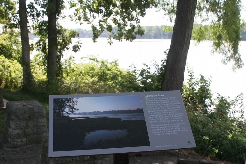
Roche de Bout
Just downstream is a large limestone outcrop detached from the bank. This is Roche de Bout, traditional meeting place of the Indians in the Maumee Valley and the Great Lakes region. It was here that Little Turtle, Blue Jacket, Tarhe the Crane, and other war chiefs met to plan their strategy against Wayne's Legion and the earlier armies of Generals Harmar and St. Clair.
Topics. This historical marker is listed in these topic lists: Forts and Castles • Native Americans • Wars, US Indian. A significant historical month for this entry is August 1899.
Location. 41° 29.231′ N, 83° 44.089′ W. Marker is near Waterville, Ohio, in Lucas County. Marker is at the intersection of South River Road (U.S. 24) and Waterville Monclova Road, on the left when traveling west on South River Road . This historical marker is located just south of Waterville, along US 24, in the Roche de Bout area of Farnsworth Metropark. Touch for map. Marker is at or near this postal address: 701 South River Road, Waterville OH 43566, United States of America. Touch for directions.
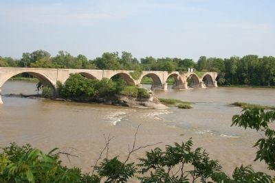
Other nearby markers. At least 8 other markers are within one mile of this marker, measured as the crow flies. Roche de Bout (within shouting distance of this marker); The Towpath Trail (within shouting distance of this marker); Bowling Green Fault (approx. 0.2 miles away); Ohio Electric Railroad Bridge / Roche De Bout, Roche De Boeuf (approx. ¼ mile away); Stitt Park (approx. 0.8 miles away); Waterville Civil War Monument (approx. one mile away); a different marker also named The Towpath Trail (approx. one mile away); Fort Miamis Reserve/Miltonville (approx. 1.1 miles away). Touch for a list and map of all markers in Waterville.
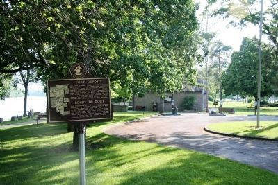
More about this marker. This historical marker is situated adjacent to the metropark parking lot, and in the vicinity of the Roche de Bout park shelter house. It is located on the high bluff overlooking the Maumee River.
Credits. This page was last revised on December 27, 2018. It was originally submitted on June 3, 2009, by Dale K. Benington of Toledo, Ohio. This page has been viewed 2,964 times since then and 96 times this year. Photos: 1, 2, 3. submitted on June 3, 2009, by Dale K. Benington of Toledo, Ohio. 4, 5. submitted on December 8, 2018, by J. Wesley Baker of Springfield, Ohio. 6. submitted on June 3, 2009, by Dale K. Benington of Toledo, Ohio. • Kevin W. was the editor who published this page.
