Near Shepherdstown in Jefferson County, West Virginia — The American South (Appalachia)
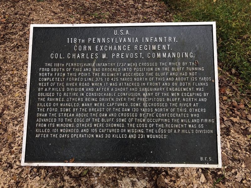
118th Pennsylvania Infantry
Corn Exchange Regiment.
Colonel Charles M. Prevost, Commanding.
(September 20, 1862)
The 118th Pennsylvania Infantry (737 men) crossed the river by the Ford south of this and was ordered into position on the bluff running north from this point. The Regiment ascended the bluff and had not completely formed line—375 to 425 yards north of this and about 125 yards west of the river road—when it was attacked in front and on both flanks by A. P. Hillís Division and, after a short and sanguinary engagement, was obliged to retire in considerable confusion, many of the men escaping by this ravine, others being driven over the precipitous bluff north and killed or mangled; many were captured. Some recrossed the river at the Ford, some by the breast of the dam, 130 yards north of this; others swam the stream above the dam, or crossed between the dam and Ford. Numbers were killed while crossing, by the Confederates, who advanced to the edge of the bluff, some of them occupying the mill and firing from its windows. Others were drowned. The loss of the Regiment was 63 killed, 101 wounded, and 105 captured or missing. The loss of A. P. Hillís Division in the day's operation was 30 killed and 231 wounded. (Marker Number B.F. 5.)
Topics and series. This historical marker is listed in this topic list: War, US Civil. In addition, it is included in the Antietam Campaign War Department Markers series list.
Location. 39° 25.71′ N, 77° 46.856′ W. Marker is near Shepherdstown, West Virginia, in Jefferson County. Marker is on River Road (County Route 17/1) 0.1 miles west of Trough Road (County Route 31/1), on the left when traveling west. Site location is an estimate based on references. Touch for map. Marker is at or near this postal address: 4389 River Road, Shepherdstown WV 25443, United States of America. Touch for directions.
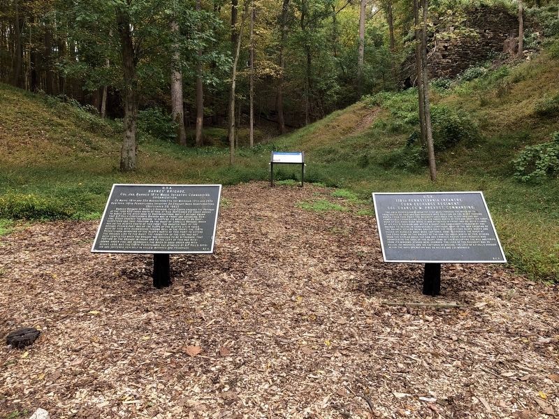
Other nearby markers. At least 8 other markers are within walking distance of this marker. Barnes' Brigade (here, next to this marker); Battle of Shepherdstown (a few steps from this marker); Battle of Boteler's Ford (about 600 feet away, measured in a direct line); Shepherdstown Battlefield Preservation Association (about 600 feet away); Botelerís Ford Tablet B. F. 3 (about 600 feet away); Botelerís Ford Tablet B. F. 1 (about 700 feet away); Pack Horse Ford (about 700 feet away); Botelerís Ford Tablet B. F. 2 (about 700 feet away). Touch for a list and map of all markers in Shepherdstown.
Also see . . .
1. Summary of the 118th Regiment's Action at Antietam. Antietam on the Web website entry
2. Virtual Antietam. Text for this marker was determined from the Monument Database on the Virtual Antietam web site (Submitted on August 1, 2007, by Craig Swain of Leesburg, Virginia.)
Credits. This page was last revised on February 2, 2022. It was originally submitted on August 1, 2007, by Craig Swain of Leesburg, Virginia. This page has been viewed 2,109 times since then and 21 times this year. Photos: 1, 2. submitted on October 12, 2020, by Devry Becker Jones of Washington, District of Columbia. 3. submitted on October 11, 2009. • J. J. Prats was the editor who published this page.


