Savage in Howard County, Maryland — The American Northeast (Mid-Atlantic)
Historic Savage Mill
Established 1822
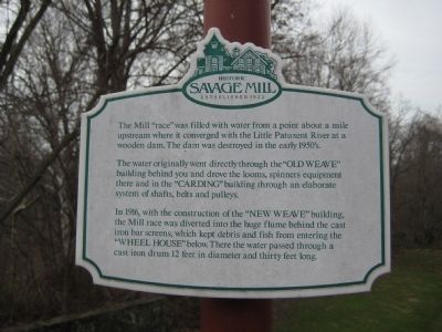
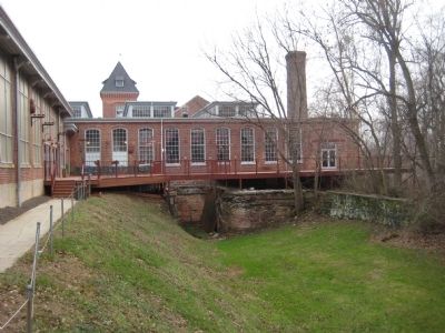
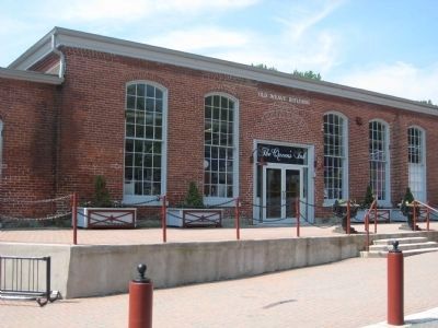
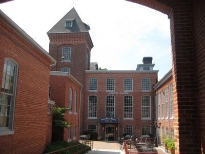
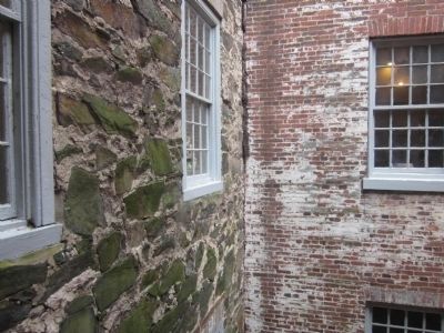
The water originally went directly through the "OLD WEAVE" building behind you and drove the looms, spinners equipment there and in the "CARDING" building through an elaborate system of shafts, belts and pulleys.
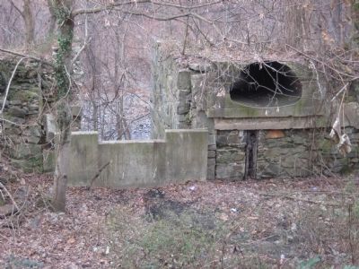
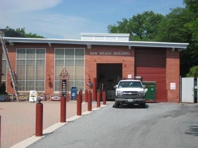
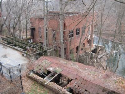
In 1916, with the construction of the "NEW WEAVE" building, the Mill race was diverted into the huge flume behind the cast iron bar screens, which kept debris and fish from entering the "WHEEL HOUSE" below. There the water passed through a cast iron drum 12 feet in diameter and thirty feet long.
Topics. This historical marker is listed in this topic list: Industry & Commerce. A significant historical year for this entry is 1916.
Location. Marker has been reported permanently removed. It was located near 39° 8.127′ N, 76° 49.582′ W. Marker was in Savage, Maryland, in Howard County. Marker could be reached from the intersection of Washington Street and Fair Street. Marker is on a walk along the river side of Savage Mill, now a specialty shopping mall. Touch for map. Marker was in this post office area: Savage MD 20763, United States of America.
We have been informed that this sign or monument is no longer there and will not be replaced. This page is an archival view of what was.
Other nearby markers. At least 8 other markers are within walking distance of this location. A different marker also named Historic Savage Mill (within shouting distance of this marker); Bollman Iron Truss Bridge (about 500 feet away, measured in a direct line); Savage Mill (about 500 feet away); Baldwin Common (about 700 feet away); Carroll Baldwin Memorial Hall (approx. 0.2 miles away); 9051-9053 Baltimore Street (approx. 0.2 miles away); Millworkers House (approx. 0.2 miles away); This Survey Point (approx. 0.3 miles away). Touch for a list and map of all markers in Savage.
Related marker. Click here for another marker that is related to this marker. This marker has been replaced by the linked marker.
Also see . . . Savage Mill Website. (Submitted on June 12, 2009, by F. Robby of Baltimore, Maryland.)
Credits. This page was last revised on November 9, 2019. It was originally submitted on June 6, 2009, by F. Robby of Baltimore, Maryland. This page has been viewed 1,332 times since then and 22 times this year. Photos: 1, 2, 3. submitted on June 6, 2009, by F. Robby of Baltimore, Maryland. 4, 5, 6, 7. submitted on June 12, 2009, by F. Robby of Baltimore, Maryland. 8. submitted on June 6, 2009, by F. Robby of Baltimore, Maryland. 9. submitted on May 19, 2012.
