Oxford in Newton County, Georgia — The American South (South Atlantic)
Town of Oxford, Georgia Historic Shrine of the United Methodist Church
— United Methodist Church Registered Historic Site No. 12 —
Inscription.
(Front):
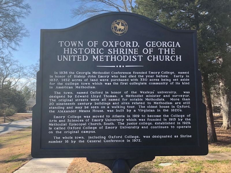
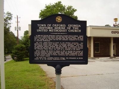
In 1836 the Georgia Methodist Conference founded Emory College, named in honor of Bishop John Emory who had died the year before. Early in 1837. 1452 acres of land were purchased with 330 acres being set aside for the college town which was the first collegiate community of its kind in American Methodism.
The town, name Oxford in honor of the Wesley's' university, was designed by Edward Lloyd Thomas, a Methodist minister and surveyor. The original streets were all named for notable Methodists. More than 20 nineteenth century buildings and sites related to Methodism are still standing and may be seen on a walking tour. The oldest house in Oxford, the Alexander Means House, was built by a Virginian in the 1820's.
Emory College was moved to Atlanta in 1919 to become the College of Arts and Sciences of Emory University which was founded in 1915 by the Methodist Episcopal Church, South. The junior college, established in 1929, is called Oxford College of Emory University and continues to operate on the original campus. The whole town, including Oxford College, was designated as Shrine number 16 by the General Conference in 1972.
(Back)
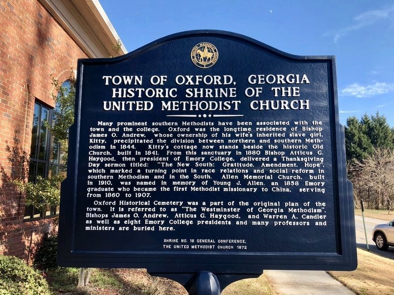
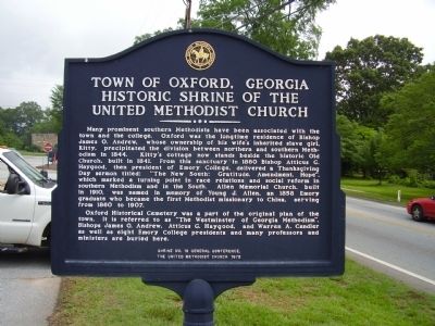
Many prominent southern Methodists have been associated with the town and the college. Oxford was the longtime residence of Bishop James O. Andrew, whose ownership of his wife's inherited slave girl, Kitty, precipitated the division between northern and southern Methodism in 1844. Kitty's cottage now stands beside the historic Old Church, built in 1841. From this sanctuary in 1880 Bishop Atticus G. Haygood, then president of Emory College, delivered a Thanksgiving Day sermon titled; "The New South; Gratitude, Amendment, Hope", which marked a turning point in race relations and social reform in southern Methodism and in the South. Allen Memorial Church, built in 1910, was named in memory of Young J. Allen, and 1858 Emory graduate who became the first Methodist missionary to China, serving from 1860 to 1907.
Oxford Historical Cemetery was a part of the original plan of the town. It is referred to as " The Westminster of Georgia Methodism". Bishops James O. Andrew, Atticus G. Haygood, and Warren A. Candler as well as eight Emory College presidents and many professors and ministers are buried here.
Erected 1972 by General Conference, The United Methodist Church. (Marker Number 12.)
Topics and series. This historical marker is listed in these topic lists: Churches & Religion • Settlements & Settlers. In addition, it is included in the United Methodist Church Historic Sites series list. A significant historical year for this entry is 1836.
Location. 33° 37.421′
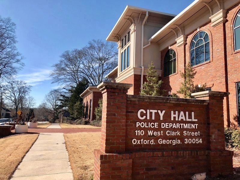
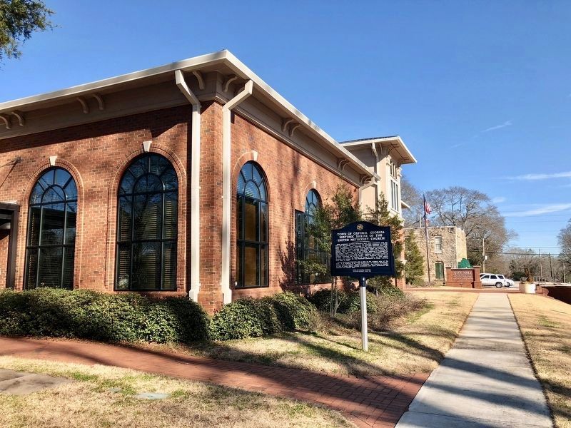
N, 83° 52.107′ W. Marker is in Oxford, Georgia, in Newton County. Marker is on West Clark Street west of Emory Street (Georgia Route 81), on the right when traveling west. Touch for map. Marker is at or near this postal address: 110 West Clark Street, Oxford GA 30054, United States of America. Touch for directions.
Other nearby markers. At least 8 other markers are within 2 miles of this marker, measured as the crow flies. Old Church - 1841 (approx. 0.2 miles away); Old Church (approx. 0.2 miles away); Town of Oxford and Emory College (approx. 0.2 miles away); Kitty's Cottage (approx. 0.2 miles away); The Old Oxford Church (approx. 0.2 miles away); Garrard’s Cavalry Raid (approx. 1˝ miles away); The Stoneman Raid (approx. 1˝ miles away); The March to the Sea (approx. 1˝ miles away). Touch for a list and map of all markers in Oxford.
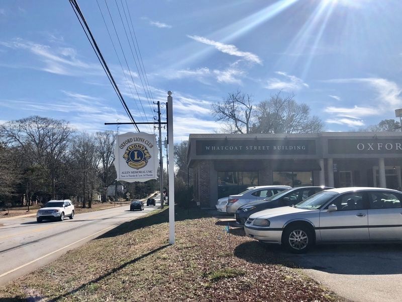
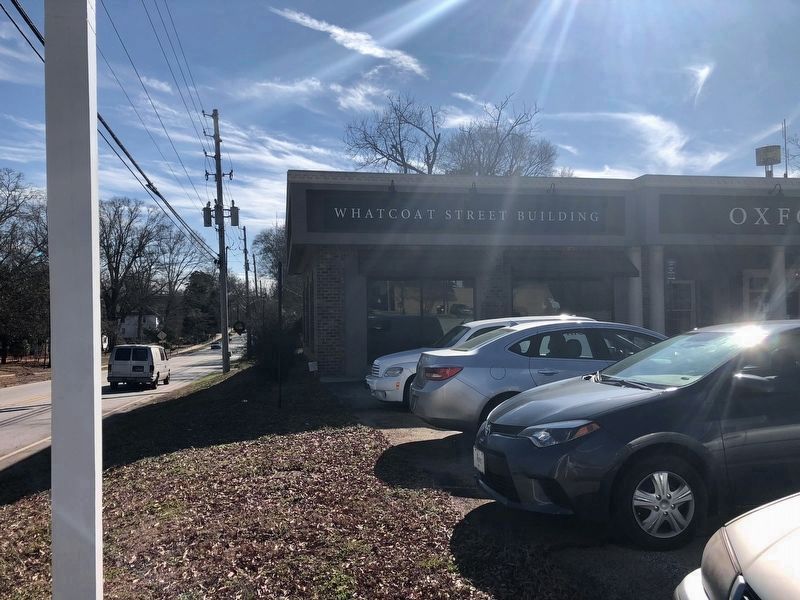
More about this marker. This marker was previously located at the intersection of Whatcoat Street and Emory Street at coordinates 33° 37.31′ N, 83° 52.052′ W. It has been relocated to Oxford City Hall, about 1000 feet north.
The marker declares on its face that this is UMC Registered Historic site No. 16, but in the UMC registry, it is listed as No. 12. No. 16 is in California.
Credits. This page was last revised on August 19, 2023. It was originally submitted on June 7, 2009, by Stanley and Terrie Howard of Greer, South Carolina. This page has been viewed 1,557 times since then and 25 times this year. Photos: 1, 2, 3, 4. submitted on January 25, 2018, by Mark Hilton of Montgomery, Alabama. 5, 6. submitted on June 7, 2009, by Stanley and Terrie Howard of Greer, South Carolina. 7, 8. submitted on January 24, 2018, by Mark Hilton of Montgomery, Alabama. • Craig Swain was the editor who published this page.
