Hopewell, Virginia — The American South (Mid-Atlantic)
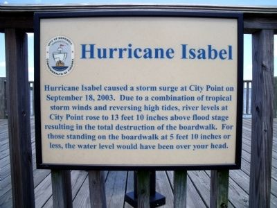
Hurricane Isabel
Erected by City of Hopewell.
Topics. This historical marker is listed in this topic list: Disasters. A significant historical month for this entry is September 1916.
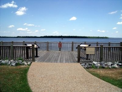
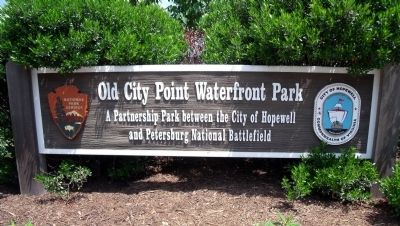
Location. Marker has been reported missing. It was located near 37° 18.974′ N, 77° 16.391′ W. Marker was in Hopewell, Virginia. Marker could be reached from Water Street near Pecan Avenue. This marker is located in the Old City Point Waterfront Park. Touch for map. Marker was in this post office area: Hopewell VA 23860, United States of America. Touch for directions.
Other nearby markers. At least 8 other markers are within walking distance of this location. Virginia Indians near City Point (here, next to this marker); City Point (here, next to this marker); Clearing the Way (within shouting distance of this marker); Quartermaster Repair Shops (within shouting distance of this marker); a different marker also named City Point (within shouting distance of this marker); Taverns (about 600 feet away, measured in a direct line); Housing Several Thousand Federal Troops (about 600 feet away); Historic City Point (about 600 feet away). Touch for a list and map of all markers in Hopewell.
Credits. This page was last revised on May 9, 2020. It was originally submitted on June 5, 2009, by Bernard Fisher of Richmond, Virginia. This page has been viewed 1,483 times since then and 10 times this year. Last updated on June 8, 2009, by Jeff Conner of Norfolk, Virginia. Photos: 1, 2, 3, 4. submitted on June 5, 2009, by Bernard Fisher of Richmond, Virginia. • Kevin W. was the editor who published this page.


