Near Lappans Crossroads in Washington County, Maryland — The American Northeast (Mid-Atlantic)
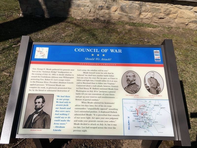
Council of War
Should We Attack?
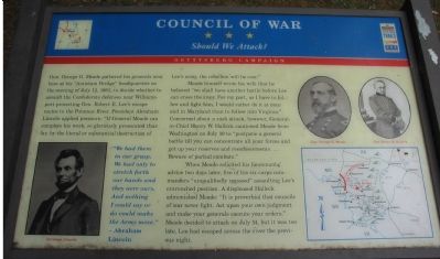
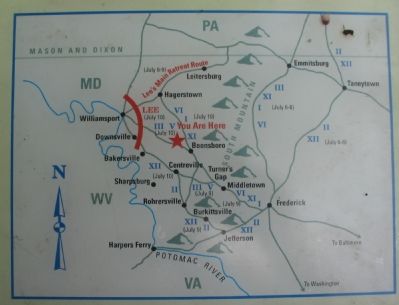
Gen. George G. Meade gathered his generals near here at his “Antietam Bridge” headquarters on the evening of July 12, 1863, to decide whether to assault the Confederate defenses near Williamsport protecting Gen. Robert E. Lee’s escape routes to the Potomac River. President Abraham Lincoln applied pressure: “If General Meade can complete his work, so gloriously prosecuted thus far, by the literal or substantial destruction of Lee’s army, the rebellion will be over.”
Meade himself wrote his wife that he believed “we shall have another battle before Lee can cross the river. For my part, as I have to follow and fight him, I would rather do it at once and in Maryland than to follow into Virginia.” Concerned about a rash attack, however, General-in-Chief Henry W. Halleck cautioned Meade from Washington on July 10 to “postpone a general battle till you can concentrate all your forces and get up your reserves and reenforcements. ... Beware of partial combats.”
When Meade solicited his lieutenants’ advice two days later, five of his six corps commanders “unqualifiedly opposed” assaulting Lee’s entrenched position. A displeased Halleck admonished Meade: “It is proverbial that councils of war never fight. Act upon your own judgment and make your generals execute your orders.” Meade decided to attack on July 14, but it was too late, Lee had escaped across the river the previous night.
“We had them in our grasp. We had only to stretch forth our hands and they were ours. And nothing I could say or do could make the Army move.” —Abraham Lincoln
Topics and series. This historical marker is listed in this topic list: War, US Civil. In addition, it is included in the Former U.S. Presidents: #16 Abraham Lincoln, and the Maryland Civil War Trails series lists. A significant historical date for this entry is July 12, 1791.
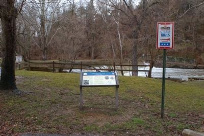
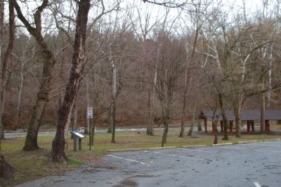
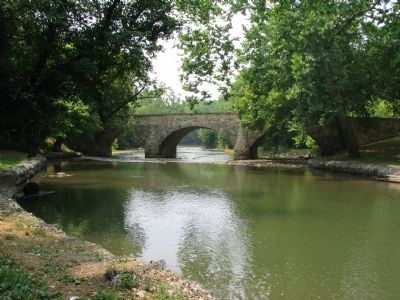
Location. 39° 32.31′ N, 77° 42.62′ W. Marker is near Lappans Crossroads, Maryland, in Washington County. Marker is on Lappans Road (Maryland Route 68), on the right when traveling west. On the grounds of the Devil’s Backbone County Park, just past the bridge over Antietam Creek. Touch for map. Marker is in this post office area: Boonsboro MD 21713, United States of America. Touch for directions.
Other nearby markers. At least 8 other markers are within 3 miles of this marker, measured as the crow flies. Devil's Backbone Dam Rehabilitation (within shouting distance of this marker); Booth’s Mill Bridge (about 400 feet away, measured in a direct line); Roxbury Mills Bridge (approx. 1.1 miles away); St. Mark's Episcopal Church (approx. 1½ miles away); Jones’ Crossroads (approx. 1.8 miles away); Jones’s Crossroads (approx. 1.8 miles away); Battle of Boonsboro (approx. 2.6 miles away); Gettysburg Campaign (approx. 2.8 miles away). Touch for a list and map of all markers in Lappans Crossroads.
More about this marker. The marker displays portraits of President Lincoln and Gens. Meade and Halleck.
Also see . . .
1. A Lesson in Battle Tempo: The Union Pursuit After Gettysburg. Parameters: The Journal of the US Army War College PDF (Submitted on August 4, 2007, by Craig Swain of Leesburg, Virginia.)
2. Letter from President Lincoln to George G. Meade, July 14 2863. The History Place website entry (Submitted on August 4, 2007, by Craig Swain of Leesburg, Virginia.)
Additional keywords. Gettysburg Campaign
Credits. This page was last revised on March 1, 2022. It was originally submitted on August 4, 2007, by Craig Swain of Leesburg, Virginia. This page has been viewed 1,948 times since then and 29 times this year. Photos: 1. submitted on March 1, 2020, by Devry Becker Jones of Washington, District of Columbia. 2, 3. submitted on March 9, 2008, by Christopher Busta-Peck of Shaker Heights, Ohio. 4, 5, 6. submitted on August 4, 2007, by Craig Swain of Leesburg, Virginia. • J. J. Prats was the editor who published this page.
