Lappans Crossroads in Washington County, Maryland — The American Northeast (Mid-Atlantic)
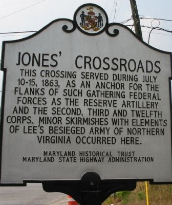
Jones’ Crossroads
Erected by Maryland State Historical Trust / Maryland State Highway Administration.
Topics. This historical marker is listed in this topic list: War, US Civil. A significant historical date for this entry is July 10, 1920.
Location. 39° 33.218′ N, 77° 44.204′ W. Marker is in Lappans Crossroads, Maryland, in Washington County. Marker is at the intersection of Lappans Road (Maryland Route 68) and Sharpsburg Pike (Maryland Route 65), on the right when traveling west on Lappans Road. Touch for map. Marker is in this post office area: Boonsboro MD 21713, United States of America. Touch for directions.
Other nearby markers. At least 8 other markers are within 4 miles of this marker, measured as the crow flies. Jones’s Crossroads (about 300 feet away, measured in a direct line); St. Mark's Episcopal Church (approx. ¼ mile away); Devil's Backbone Dam Rehabilitation (approx. 1.7 miles away); Council of War (approx. 1.8 miles away); Booth’s Mill Bridge (approx. 1.8 miles away); Roxbury Mills Bridge (approx. 1.9 miles away); Rose's Mill Bridge (approx. 2.9 miles away); Claggett’s Millrace Bridge (approx. 3.2 miles away). Touch for a list and map of all markers in Lappans Crossroads.
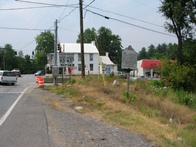
Photographed By Craig Swain, July 28, 2007
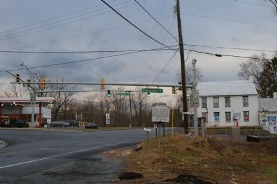
2. Marker with Jones Crossroads in the Background
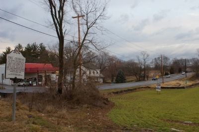
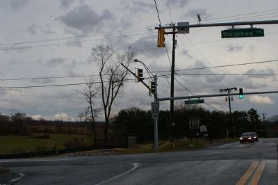
The crossroads was the intersection of the historical Lappans Road running from Williamsport, MD to Both's Mill and beyond to Boonsboro, with the Sharpsburg Pike running between Hagerstown and Sharpsburg. Road repairs and widening in the area may force the relocation of this marker.
Credits. This page was last revised on March 21, 2020. It was originally submitted on August 5, 2007, by Craig Swain of Leesburg, Virginia. This page has been viewed 2,257 times since then and 76 times this year. Photos: 1, 2. submitted on August 5, 2007, by Craig Swain of Leesburg, Virginia. 3, 4, 5. submitted on March 9, 2008, by Christopher Busta-Peck of Shaker Heights, Ohio. • J. J. Prats was the editor who published this page.
