Livermore in Alameda County, California — The American West (Pacific Coastal)
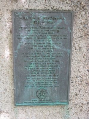
William M. Mendenhall 1823 – 1911 / De Anza Expedition Campsite
[Side 1:]
1823 – 1911
This memorial is contributed to the City of Livermore by the Livermore Rotary Club in recognition of our City’s Centennial Year, 1969.
John Sarboraria
President Livermore Rotary Club
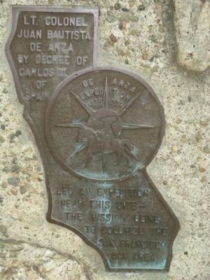
Lt. Colonel Juan Bautista de Anza by decree of Carlos III of Spain led an expedition near this site – The mission being to colonize the San Francisco Bay Area.
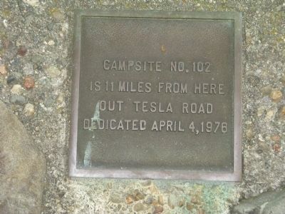
Campsite No. 102 is 11 miles from here out Tesla Road
Dedicated April 4, 1976.
Erected 1969 by Livermore Rotary Club.
Topics and series. This historical marker is listed in these topic lists: Exploration • Industry & Commerce • Settlements & Settlers. In addition, it is included in the Juan Bautista de Anza National Historic Trail, and the Rotary International series lists. A significant historical date for this entry is April 4, 1869.
Location. 37° 40.537′ N, 121° 45.451′ W. Marker is in Livermore, California, in Alameda County. Marker can be reached from Livermore Avenue. Marker is located at the western edge of the Livermore Civic Center parking area. Touch for map. Marker is at or near this postal address: 1000 S Livermore Ave, Livermore CA 94550, United States of America. Touch for directions.
Other nearby markers. At least 8 other markers are within walking distance of this marker. Livermore Rodeo (here, next to this marker); This Cherry Tree is a Gift (approx. ¼ mile away); J.S. van Buskirk / John Luders House (approx. 0.3 miles away); J.C. Safford House (approx. 0.4 miles away); F.L. Savage House (approx. 0.4 miles away); Ernest George Wente House (approx. 0.4 miles away); Judge Manley J. Clark House (approx. 0.4 miles away); L.E. Wright Home (approx. half a mile away). Touch for a list and map of all markers in Livermore.
Also see . . .
1. De Anza National Historic Trail History & Culture. This National Park Service website tells the history of the trail, maps, and gives links to journals of the expedition members and “Web De Anza”, An Interactive Study environment on Spanish Exploration and Colonization of "Alta California" 1774-1776 (Submitted on June 15, 2009, by Syd Whittle of Mesa, Arizona.)
2. Historic Tombstone from Livermore Found in Southern California Back Yard. A Mercury News.com news article from June 19, 2009. Report of the finding of William Mendenhall's Tombstone. (Submitted on August 22, 2009, by Syd Whittle of Mesa, Arizona.)
Additional commentary.
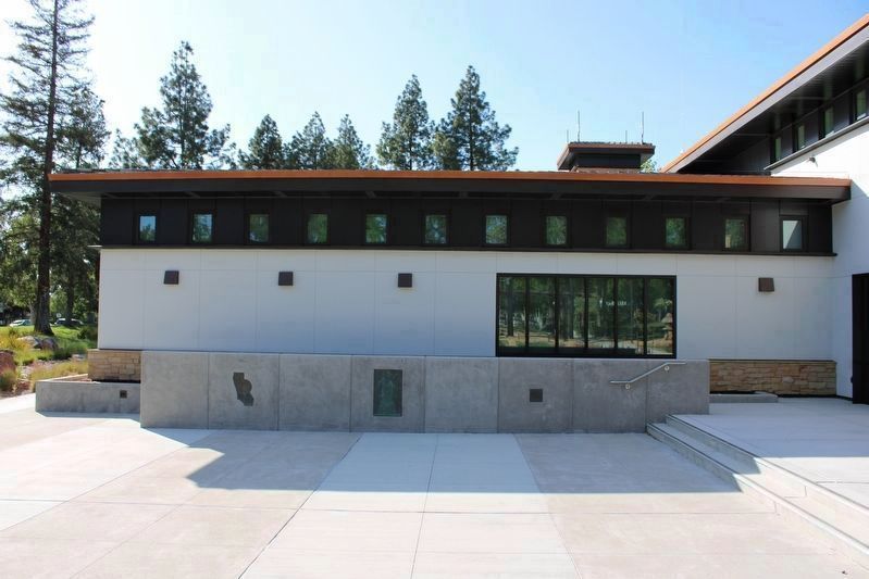
1. Relocated Markers
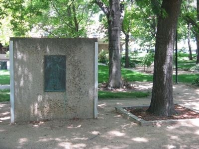
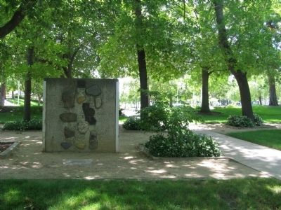
All three plaques have been removed and relocated from their original location. They are now mounted to a half-wall in the plaza of the recently constructed City of Livermore Meeting Hall.
— Submitted May 1, 2022, by Joseph Alvarado of Livermore, California.
Credits. This page was last revised on May 16, 2022. It was originally submitted on June 15, 2009, by Syd Whittle of Mesa, Arizona. This page has been viewed 2,367 times since then and 33 times this year. Last updated on May 1, 2022, by Joseph Alvarado of Livermore, California. Photos: 1, 2, 3. submitted on June 15, 2009, by Syd Whittle of Mesa, Arizona. 4. submitted on May 1, 2022, by Joseph Alvarado of Livermore, California. 5, 6, 7. submitted on June 15, 2009, by Syd Whittle of Mesa, Arizona. • J. Makali Bruton was the editor who published this page.
