Monroe in Monroe County, Michigan — The American Midwest (Great Lakes)
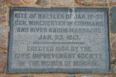
Site of Battles of Jan. 18 - 22
Gen. Winchester in Command,
and River Raisin Massacre
Jan. 23, 1813
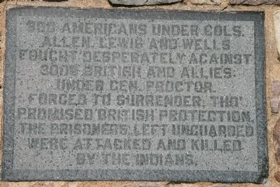
Allen, Lewis and Wells
Fought desperately against
3000 British and Allies
Under Gen. Proctor.
Forced to surrender, Tho'
Promised British protection,
the prisoners left unguarded
were attacked and killed
by the Indians.
Erected 1904 by Civil Improvement Society of the Women of Monroe.
Topics. This historical marker is listed in these topic lists: War of 1812 • Women. A significant historical year for this entry is 1813.
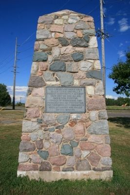
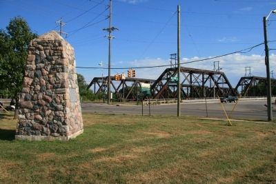
Location. 41° 54.822′ N, 83° 22.834′ W. Marker is in Monroe, Michigan, in Monroe County. Marker is at the intersection of East Elm Avenue (State Highway 50) and North Dixie Highway, on the right when traveling west on East Elm Avenue. This historical marker is affixed to a large stack of stones, that is located on the north side of the River Raisin, just above the Winchester Street Bridge. Touch for map. Marker is in this post office area: Monroe MI 48162, United States of America. Touch for directions.
Other nearby markers. At least 8 other markers are within walking distance of this marker. Private Claim 214 of G. Godfroy & J.B. Beaugrand (a few steps from this marker); Private Claim 236 Lot of Hubert Lacroix (about 400 feet away, measured in a direct line); Private Claim 236, Lot of George McDougal (about 500 feet away); River Raisin Legacy Project (about 600 feet away); First District Court (about 600 feet away); Private Claim 236 Lot of Jean (John) Baptiste Jerome (about 600 feet away); Port of Monroe (approx. 0.2 miles away); Private Claim 96 of Jean (John) Baptist Couture (approx. 0.2 miles away). Touch for a list and map of all markers in Monroe.
Also see . . . Battle of Frenchtown. This web link is published and made available by "Friends of the River Raisin Battlefield." (Submitted on June 18, 2009, by Dale K. Benington of Toledo, Ohio.)
Credits. This page was last revised on January 23, 2021. It was originally submitted on June 18, 2009, by Dale K. Benington of Toledo, Ohio. This page has been viewed 1,575 times since then and 14 times this year. Photos: 1, 2, 3, 4. submitted on June 18, 2009, by Dale K. Benington of Toledo, Ohio. • Craig Swain was the editor who published this page.


