Funkstown in Washington County, Maryland — The American Northeast (Mid-Atlantic)
Funkstown Bridge No. 2
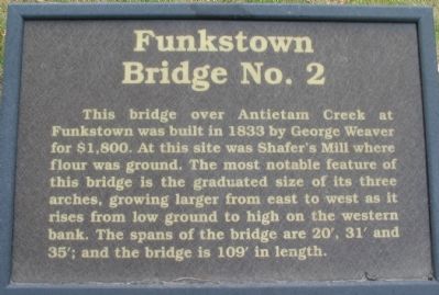
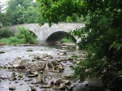
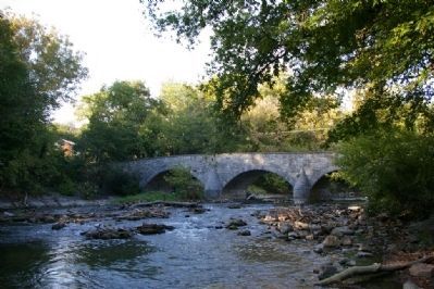
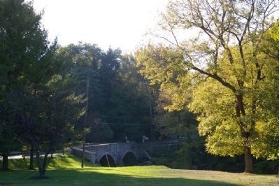
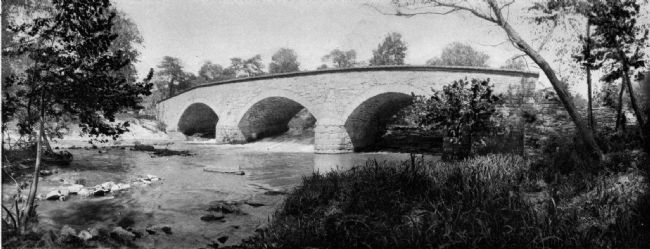
This bridge over Antietam Creek at Funkstown was built in 1833 by George Weaver for $1,800. At this site was Shafer’s Mill where flour was ground. The most notable feature of this bridge is the graduated size of its three arches, growing larger from the east to the west as it rises from low ground to high on the western bank. The spans of the bridge are 20', 31' and 35'; and the bridge is 109' in length.
Erected by Washington County Historical Advisory Committee.
Topics and series. This historical marker is listed in this topic list: Bridges & Viaducts. In addition, it is included in the Maryland, Washington County Historical Advisory Committee series list. A significant historical year for this entry is 1833.
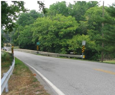
Location. 39° 36.646′ N, 77° 42.722′ W. Marker is in Funkstown, Maryland, in Washington County. Marker is on West Baltimore Street / Oak Ridge Drive, on the right when traveling west. Located at the east end of Funkstown Bridge No. 2. Touch for map. Marker is in this post office area: Funkstown MD 21734, United States of America. Touch for directions.
Other nearby markers. At least 8 other markers are within walking distance of this marker. M3A1 Light Tank (about 400 feet away, measured in a direct line); Veterans Memorial (about 400 feet away); Building the Funkstown Bridge (about 700 feet away); Civil War Hospital Site (approx. 0.2 miles away); Baltimore Street (approx. 0.3 miles away); Keller Home (approx. 0.3 miles away); This Plot is Dedicated to Public Use (approx. 0.4 miles away); Gen. Robert E. Lee (approx. 0.4 miles away). Touch for a list and map of all markers in Funkstown.
Also see . . . Journey Through Maryland History: Washington County Bridges. Preservation Maryland website entry (Submitted on February 28, 2022, by Larry Gertner of New York, New York.)
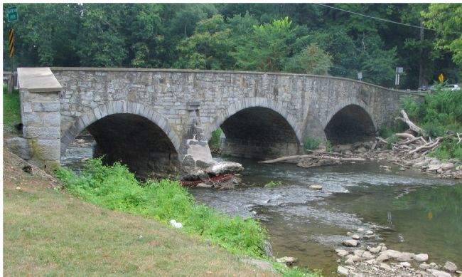
Photographed By Craig Swain, July 28, 2007
10. Bridge No. 2 Spaning the Antietam
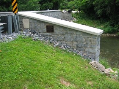
Also unique to this bridge is the angle of the north side "wing" of the bridge (seen on the left edge of the photograph). This was added to facilitate traffic that approached the bridge at an angle. A similar wing is on the western end.
Credits. This page was last revised on February 28, 2022. It was originally submitted on August 6, 2007, by Craig Swain of Leesburg, Virginia. This page has been viewed 2,328 times since then and 35 times this year. Photos: 1, 2, 3. submitted on August 6, 2007, by Craig Swain of Leesburg, Virginia. 4, 5, 6. submitted on February 19, 2008, by Christopher Busta-Peck of Shaker Heights, Ohio. 7, 8, 9. submitted on December 13, 2009, by Craig Swain of Leesburg, Virginia. 10. submitted on August 6, 2007, by Craig Swain of Leesburg, Virginia. • J. J. Prats was the editor who published this page.
