Near Charles Town in Jefferson County, West Virginia — The American South (Appalachia)
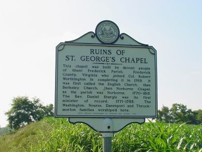
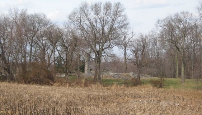
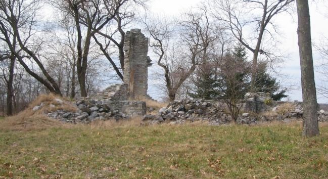
Ruins of St. George’s Chapel
Erected 1970 by West Virginia Department of Archives and History.
Topics and series. This historical marker is listed in these topic lists: Churches & Religion • Colonial Era • Settlements & Settlers. In addition, it is included in the West Virginia Archives and History series list. A significant historical year for this entry is 1769.
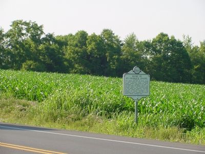
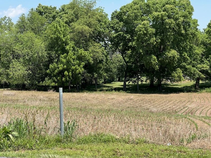
Location. Marker has been reported missing. It was located near 39° 17.592′ N, 77° 53.58′ W. Marker was near Charles Town, West Virginia, in Jefferson County. Marker was on Middleway Pike (West Virginia Route 51) east of North Ridge Drive. Touch for map. Marker was at or near this postal address: 477 Fenway Dr, Charles Town WV 25414, United States of America. Touch for directions.
Other nearby markers. At least 8 other markers are within 2 miles of this location, measured as the crow flies. Locust Hill (approx. 0.9 miles away); a different marker also named "Locust Hill" (approx. 1.1 miles away); Richwood Hall (approx. 1½ miles away); Harewood (approx. 1½ miles away); Brownfields to Greenfields (approx. 1½ miles away); Martin Robison Delany (approx. 1.6 miles away); Office of Charles Washington (approx. 1.6 miles away); A Brief History of the Old Presbyterian Church in Charles Town (approx. 1.7 miles away). Touch for a list and map of all markers in Charles Town.
Regarding Ruins of St. George’s Chapel. Was the first Anglican church in the area. George Washington’s brother Samuel was church warden.
Credits. This page was last revised on June 8, 2022. It was originally submitted on August 9, 2007, by J. J. Prats of Powell, Ohio. This page has been viewed 2,819 times since then and 31 times this year. Photos: 1, 2. submitted on August 9, 2007, by J. J. Prats of Powell, Ohio. 3. submitted on June 7, 2022, by Robert Heyward of Prattville, Alabama. 4, 5. submitted on March 15, 2008, by Craig Swain of Leesburg, Virginia.
