Morganton in Burke County, North Carolina — The American South (South Atlantic)
Morganton
Rocky Ford Engagement
— Stoneman's Raid —
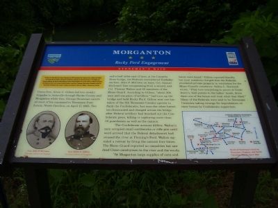
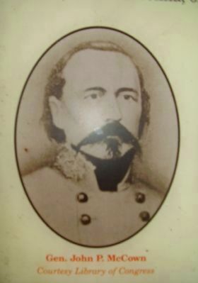
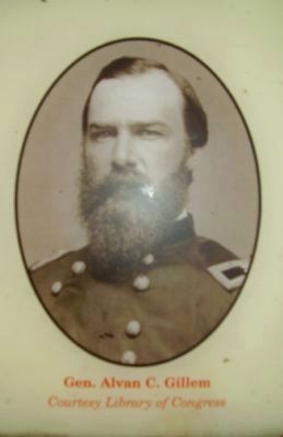
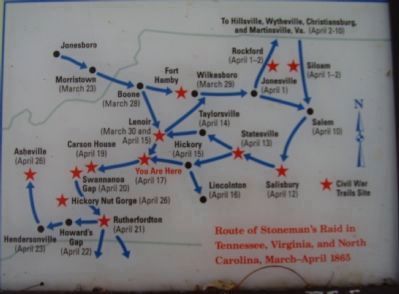
Union Gen. Alvan C. Gillem led two cavalry brigades to Asheville through Burke County and Morganton while Gen. George Stoneman escorted most of his command to Tennessee from Lenoir, North Carolina, on April 17, 1865. Two and a half miles east of here, at the Catawba River bridge, the Federals encountered Confederate Gen. John P. McCown on leave, Col. Samuel McDowell Tate recuperating from a wound, and Col. Thomas Walton and 80 members of the Home Guard. According to Gillem, "about 300 men and one piece of artillery" had torn up the bridge and held Rocky Ford. Gillem sent one battalion of the 8th Tennessee Cavalry upriver to flank the Confederates, but soon the other battalion dismounted and charged across the bridge after Federal artillery had knocked out the Confederate piece, killing or capturing more than 50 guardsmen as well as the cannon.
The Confederate account differs. Walton's men occupied small earthworks or rifle pits until word arrived that the Federal detachment had crossed the river at Fleming's Ford. Walton signaled a retreat by firing the cannon four times. The Home Guard reported no casualties but saw dead Union cavalrymen in the river and the woods.
"At Morganton large supplies of corn and bacon were found," Gillem reported blandly, but local residents charged that the Federals plundered private property in retaliation for the Home Guard's resistance. Selina L. Norwood wrote, "They tore everything to pieces at Uncle Avery's, held pistols to the ladies' heads, drove them out of the house and took what they liked." Many of the Federals were said to be Tennessee Unionists taking revenge for depredations on their homes by Confederate supporters.
Erected by North Carolina Civil War Trails.
Topics and series. This historical marker is listed in this topic list: War, US Civil. In addition, it is included in the North Carolina Civil War Trails series list. A significant historical month for this entry is March 1854.
Location. 35° 46.271′ N, 81° 41.519′ W. Marker is in Morganton, North Carolina, in Burke County. Marker is on Lenior Road (State Highway 64). Marker is near Rt. 64, north of Morganton. Touch for map. Marker is in this post office area: Morganton NC 28655, United States of America. Touch for directions.
Other nearby markers. At least 8 other markers are within 2 miles of this marker, measured as the crow flies. Stoneman's Raid (about 300 feet away, measured in a direct line); Native Americans in North Carolina's Western Piedmont (approx. 0.9 miles away); The Catawba Meadows Archaeology Site (approx. one mile away); General Daniel Morgan (approx. 1.6 miles away); Slades Chapel (approx. 1.7 miles away); Tod R. Caldwell (approx. 1.7 miles away); Sam J. Ervin, Jr. (approx. 1.8 miles away); Our Confederate Soldiers (approx. 1.8 miles away). Touch for a list and map of all markers in Morganton.
Credits. This page was last revised on June 16, 2016. It was originally submitted on June 28, 2009, by Stanley and Terrie Howard of Greer, South Carolina. This page has been viewed 2,186 times since then and 59 times this year. Photos: 1, 2, 3, 4. submitted on June 28, 2009, by Stanley and Terrie Howard of Greer, South Carolina. • Bill Pfingsten was the editor who published this page.


