Near Goldthwaite in Mills County, Texas — The American South (West South Central)
San Saba Peak
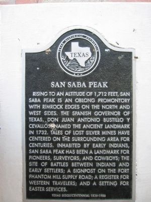
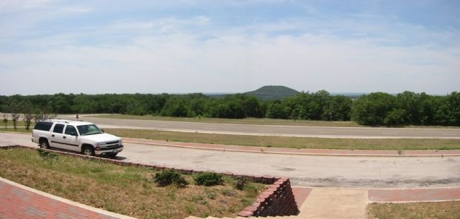
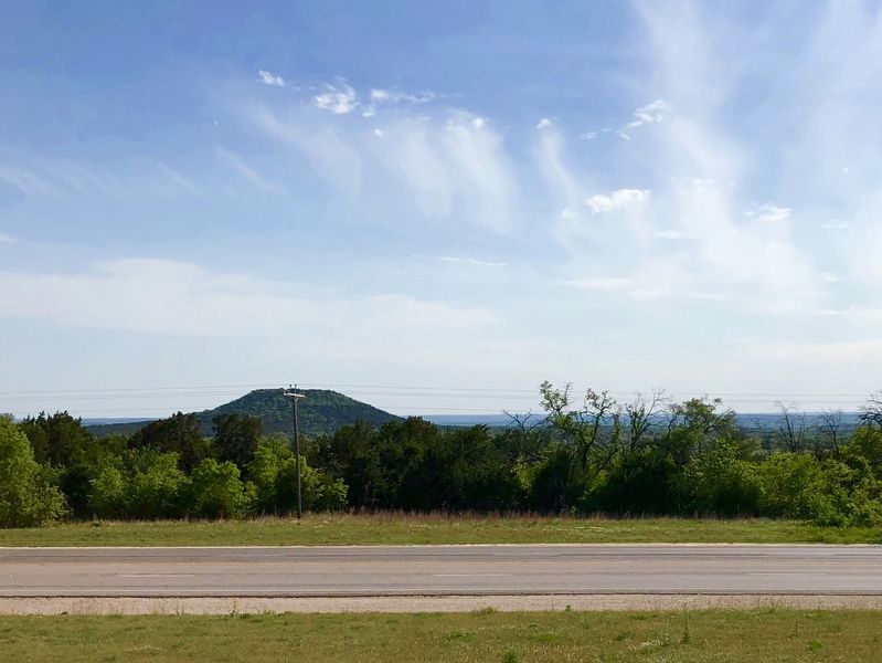
Rising to an altitude of 1,712 feet, San Saba Peak is an oblong promontory with rimrock edges on the north and west sides. The Spanish Governor of Texas, Don Juan Antonio Bustillo y Cevallos, named the ancient landmark in 1732. Tales of lost silver mines have centered on the surrounding area for centuries. Inhabited by early Indians, San Saba Peak has been a landmark for pioneers, surveyors, and cowboys; the site of battles between Indians and early settlers; a signpost on the Fort Phantom Hill supply road; a register for western travelers; and a setting for Easter services.
Texas Sesquicentennial 1836-1986
Erected 1986 by Texas Historical Commission. (Marker Number 4556.)
Topics. This historical marker is listed in these topic lists: Landmarks • Native Americans • Notable Places. A significant historical year for this entry is 1732.
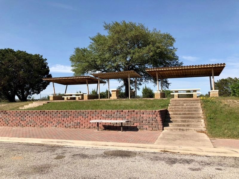
Location. 31° 22.605′ N, 98° 31.746′ W. Marker is near Goldthwaite, Texas, in Mills County. Marker can be reached from U.S. 183, on the right when traveling north. The marker is located seven miles south of Goldthwaite on US 183 right-of-way, in Lady Bird Johnson Roadside Park. Touch for map. Marker is in this post office area: Goldthwaite TX 76844, United States of America. Touch for directions.
Other nearby markers. At least 8 other markers are within 6 miles of this marker, measured as the crow flies. Dam and Well (approx. 5.3 miles away); Goldthwaite Memorial Cemetery (approx. 5˝ miles away); Mills County World War II and Korea-Vietnam Memorial (approx. 5˝ miles away); The Goldthwaite Eagle (approx. 5.6 miles away); Mills County Jail (approx. 5.6 miles away); Mills County (approx. 5.6 miles away); Mills County Courthouse (approx. 5.6 miles away); Confederate Veterans Memorial of Mills County (approx. 5.6 miles away). Touch for a list and map of all markers in Goldthwaite.
Credits. This page was last revised on October 24, 2020. It was originally submitted on June 29, 2009, by Richard Denney of Austin, Texas. This page has been viewed 2,554 times since then and 90 times this year. Photos: 1, 2. submitted on June 29, 2009, by Richard Denney of Austin, Texas. 3, 4. submitted on April 19, 2018, by Jeff Tippens of Austin, Texas. • Kevin W. was the editor who published this page.


