Lawrence Cultural District in Douglas County, Kansas — The American Midwest (Upper Plains)
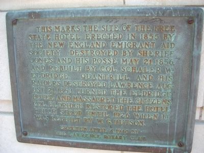
Free State Hotel
Erected 1940 by Lawrence Rotary Club.
Topics and series. This historical marker is listed in these topic lists: Settlements & Settlers • War, US Civil. In addition, it is included in the Rotary International series list. A significant historical date for this entry is May 21, 1862.
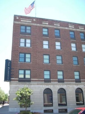
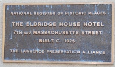
Location. 38° 58.265′ N, 95° 14.171′ W. Marker is in Lawrence, Kansas, in Douglas County. It is in the Lawrence Cultural District. Marker is at the intersection of Massachusetts Street and 7th Street, on the left when traveling north on Massachusetts Street. This marker is along Massachusetts Street halfway along the building. Touch for map. Marker is at or near this postal address: 701 Massachusetts Street, Lawrence KS 66044, United States of America. Touch for directions.
Other nearby markers. At least 8 other markers are within walking distance of this marker. 700-702 Massachusetts Street (within shouting distance of this marker); Liberty Hall (within shouting distance of this marker); Anderson Building (within shouting distance of this marker); Miller's Hall (within shouting distance of this marker); John Brown and the Siege of Lawrence, September 14-15, 1856 (about 300 feet away, measured in a direct line); Lawrence Studio (about 300 feet away); The First Lawrence U.S. Post Office (about 300 feet away); House Building (about 400 feet away). Touch for a list and map of all markers in Lawrence.
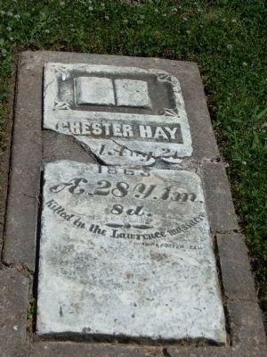
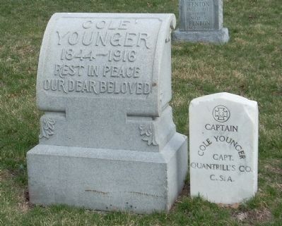
Regarding Free State Hotel. When the Free State hotel was captured, the male occupants were escorted under a flag of truce to a safe location and survived the raid - per the instructions of William Quantrill himself.
Also see . . . Lawrence Massacre. This link is to the Wikipedia write-up on the Lawrence Massacre. (Submitted on June 30, 2009, by Thomas Onions of Olathe, Kansas.)
Additional keywords. Bleeding Kansas
Photographed By Thomas Onions, January 5, 2008
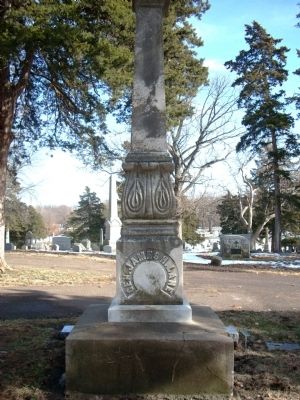
7. Headstone of Senator James Lane
James Lane is buried in Oak Hill Cemetery in Lawrence, Ks. His name was among 12 that appeared on a "death list" of prominent figures that the rainding figures were after. Stories have it that James Lane either escaped in an outhouse or in a cornfield.
Credits. This page was last revised on February 10, 2023. It was originally submitted on June 30, 2009, by Thomas Onions of Olathe, Kansas. This page has been viewed 1,648 times since then and 40 times this year. Photos: 1, 2, 3, 4, 5, 6, 7. submitted on June 30, 2009, by Thomas Onions of Olathe, Kansas. • Craig Swain was the editor who published this page.
