Near Minisink Ford in Sullivan County, New York — The American Northeast (Mid-Atlantic)
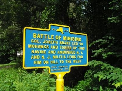
Battle of Minisink
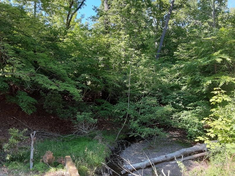
Mohawks and Tories up this
ravine and ambushed N. Y.
and N. J. Militia lying for
him on hill to the west.
Erected 1936 by New York State Education Department.
Topics. This historical marker is listed in these topic lists: Native Americans • War, US Revolutionary.
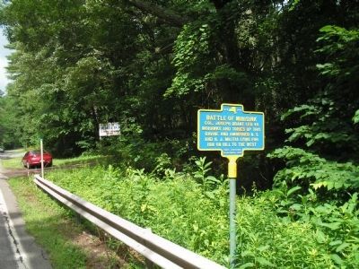
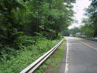
Location. 41° 28.681′ N, 74° 57.469′ W. Marker is near Minisink Ford, New York, in Sullivan County. Marker is on New York State Route 97, on the right when traveling west. Marker is located between Dry Brook Road and Old Minisink Ford Road. Touch for map. Marker is in this post office area: Eldred NY 12732, United States of America. Touch for directions.
Other nearby markers. At least 8 other markers are within walking distance of this marker. A different marker also named Battle of Minisink (approx. 0.4 miles away); Indian Rock (approx. 0.9 miles away); Minisink Battleground Park (approx. 0.9 miles away); Minisink Battleground Park (approx. 0.9 miles away); The Battle at Minisink (approx. 0.9 miles away); Battle of Minisink Memorial (approx. one mile away); Minisink Battle Monument (approx. one mile away); In Memory of Our Fallen Heroes (approx. one mile away).
Related markers. Click here for a list of markers that are related to this marker. Markers that follow the July 1779 raid made by Joseph Brant’s Mohawks and Tories and the subsequent Battle of Minisink.
Also see . . . The Battle of Minisink. The American Revolutionary War website. (Submitted on July 3, 2009, by Bill Coughlin of Woodland Park, New Jersey.)
Credits. This page was last revised on July 1, 2022. It was originally submitted on July 3, 2009, by Bill Coughlin of Woodland Park, New Jersey. This page has been viewed 844 times since then and 12 times this year. Photos: 1, 2, 3. submitted on July 3, 2009, by Bill Coughlin of Woodland Park, New Jersey. 4. submitted on July 1, 2022, by Scott J. Payne of Deposit, New York.


