Shawnee in Johnson County, Kansas — The American Midwest (Upper Plains)
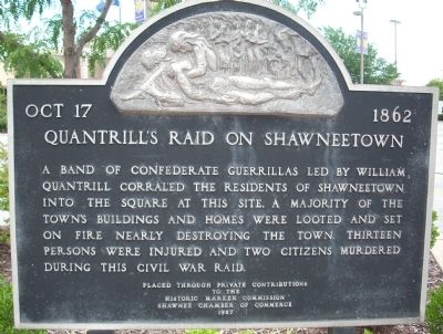
Quantrill's Raid on Shawneetown
Oct 17, 1862
A band of Confederate guerrillas led by William Quantrill corraled the residents of Shawneetown into the square at this site. A majority of the town's buildings and homes were looted and set on fire nearly destroying the town. Thirteen persons were injured and two citizens murdered during this Civil War raid.
to the
Historic Marker Commission
Erected 1987 by Shawnee Chamber of Commerce.
Topics. This historical marker is listed in this topic list: War, US Civil.
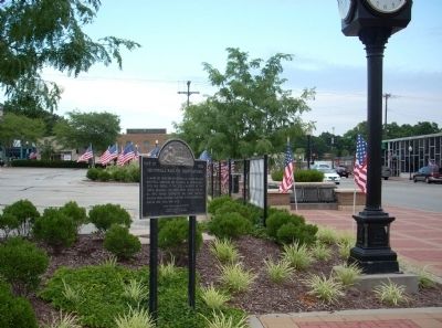
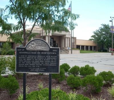
Location. 39° 1.385′ N, 94° 42.939′ W. Marker is in Shawnee, Kansas, in Johnson County. Marker is at the intersection of Johnson Drive and Barton Street, on the right when traveling west on Johnson Drive. This marker is on the northeast corner of Johnson Drive & Barton Street at the Shawnee City Hall. Touch for map. Marker is at or near this postal address: 11110 Johnson Drive, Shawnee KS 66203, United States of America. Touch for directions.
Other nearby markers. At least 8 other markers are within one mile of this marker, measured as the crow flies. Pleasant View Veterans' Memorial (approx. half a mile away); California Road (approx. ¾ mile away); Fort Leavenworth Military Road (approx. ¾ mile away); The Development of the Kansas City area Frontier Trails Network (approx. ¾ mile away); Wagonmaster's House (approx. ¾ mile away); Gum Springs (approx. ¾ mile away); Westport - Santa Fe Trail - Oregon / California Trail (approx. ¾ mile away); Campbell Home (approx. 1.1 miles away). Touch for a list and map of all markers in Shawnee.
Also see . . .
1. Visit Shawnee. City website homepage (Submitted on January 8, 2022, by Larry Gertner of New York, New York.)
2. Quantrill's Raids. Kansapedia website entry (Submitted on January 8, 2022, by Larry Gertner of New York, New York.)
Credits. This page was last revised on January 8, 2022. It was originally submitted on July 4, 2009, by Thomas Onions of Olathe, Kansas. This page has been viewed 2,797 times since then and 48 times this year. Photos: 1, 2, 3. submitted on July 4, 2009, by Thomas Onions of Olathe, Kansas. • Craig Swain was the editor who published this page.


