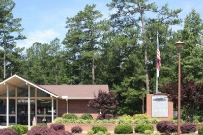
Near Fayetteville in Cumberland County, North Carolina — The American South (South Atlantic)
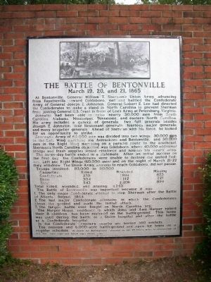
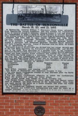
The Battle of Bentonville
March 19, 20, and 21, 1865
At Bentonville, General William T. Sherman's Union Army, advancing from Fayetteville toward Goldsboro, met and battled the Confederate Army of General Joseph E. Johnston. General Robert E. Lee had directed the Confederates to make a stand in North Carolina to prevent Sherman from joining General U.S. Grant in front of Lee's Army at Petersburg, Virginia.
Johnston had been able to raise nearly 30,000 men from South Carolina, Alabama, Mississippi, Tennessee, and eastern North Carolina. His army included a galaxy of generals: Two full generals besides Joseph E. Johnston; four lieutenant generals; fourteen major generals; and many brigadier generals. Ahead of Sherman with his force, he looked for an opportunity to strike.
Sherman's Army of 60,000 men was divided into two wings: 30,000 men in the Left Wing marching via Averasboro and Bentonville, and 30,000 men in the Right Wing marching in a parallel route to the southeast. Sherman's North Carlina objective was Goldsboro, where 40,000 additional troops and fresh supplies would reinforce and nourish his weary army.
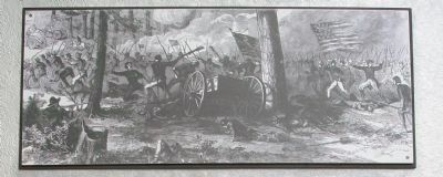
The three-day battle ended in a stalemate. After an initial success on the first day, the Confederates were unable to destroy the united Federal Left and Right Wings (60,000 men) and on the night of March 21-22 they withdrew. The Union Army, anxious to reach Goldsboro, did not pursue.
Troops involved: 85,000 to 90,000
Causualties:
Confederate Killed 239 Wounded 1,694 Missing 673
Union Killed 304 Wounded 1,112 Missing 221
Total Killed 543 Wounded 2,806 Missing 894
Total killed, wounded, and missing: 4,243
The Battle of Bentonville was important because it was:
1. The only major Confederate attempt to stop Sherman after the Battle of Atlanta, August, 1864.
2. The last major Confederate offensive in which the Confederates chose the ground and made the initial attack.
3. The largest battle ever fought on North Carolina soil.
The Harper House, residence in which John and Amy Harper raised their 8 children, has been restored on the battleground. This home was used during the battle as a Union hospital and after the battle as a Confederate hospital.
In the Confederate Cemetery nearby are buried 360 soldiers.
The museum and 6,000-acre battleground are open for tours on a regular schedule. To reach the Battleground, proceed on Int. 95 thirty miles to intersection of U.S. 701. Turn right and follow the signs eleven miles.
Erected 1962 by Archives and Highway Departments. (Marker Number II-1.)
Topics and series. This historical marker is listed in this topic list: War, US Civil. In addition, it is included in the Former U.S. Presidents: #18 Ulysses S. Grant, and the North Carolina Division of Archives and History series lists. A significant historical date for this entry is March 21, 1851.
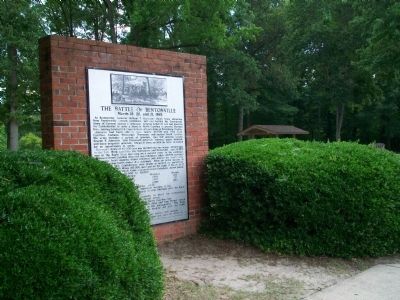
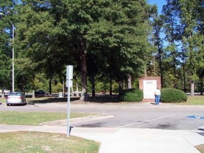
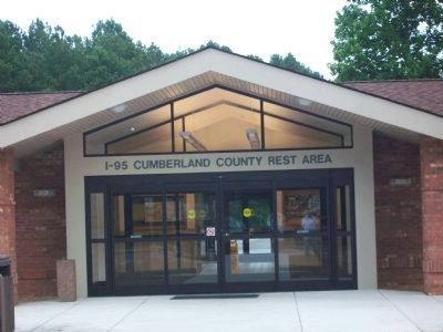
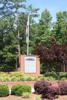
Location. 34° 59.808′ N, 78° 49.684′ W. Marker is near Fayetteville, North Carolina, in Cumberland County. Marker can be reached from Interstate 95 at milepost 48,, one mile south of Cedar Creek Rd (North Carolina Highway 53), on the right when traveling north. Located in the Cumberland County Rest Area on Northbound 95 just south of exit 49. Touch for map. Marker is in this post office area: Fayetteville NC 28312, United States of America. Touch for directions.
Other nearby markers. At least 8 other markers are within 5 miles of this marker, measured as the crow flies. Moore's Camp (approx. 3 miles away); Dunn’s Creek Quaker Meeting (approx. 3 miles away); Burning of Clarendon Bridge (approx. 3.8 miles away); Campbelton (approx. 4 miles away); Babe Ruth (approx. 4.4 miles away); Charles W. Chesnutt (approx. 4.6 miles away); The Sandford House (approx. 4.6 miles away); Henry Evans (approx. 4.6 miles away). Touch for a list and map of all markers in Fayetteville.
Related marker. Click here for another marker that is related to this marker.
Also see . . . Battle of Bentonville, North Carolina. “About Sherman, Johnston wrote to Lee that, ‘I can do no more than annoy him.’ A month later, Johnston surrendered his army to Sherman.” (Submitted on March 15, 2015, by J. J. Prats of Powell, Ohio.)
Credits. This page was last revised on June 21, 2021. It was originally submitted on July 4, 2009, by Kathy Walker of Stafford, Virginia. This page has been viewed 1,972 times since then and 41 times this year. It was the Marker of the Week March 15, 2015. Photos: 1, 2, 3. submitted on July 4, 2009, by Kathy Walker of Stafford, Virginia. 4, 5. submitted on October 17, 2010, by Mike Stroud of Bluffton, South Carolina. 6. submitted on July 4, 2009, by Kathy Walker of Stafford, Virginia. 7, 8, 9. submitted on June 20, 2011, by Mike Stroud of Bluffton, South Carolina. • Craig Swain was the editor who published this page.
