Minisink in Sullivan County, New York — The American Northeast (Mid-Atlantic)
Life Along the Canal
Upper Delaware Scenic and Recreational River
Erected by National Park Service.
Topics. This historical marker is listed in this topic list: Waterways & Vessels.
Location. 41° 28.974′ N, 74° 59.011′ W. Marker is in Minisink, New York, in Sullivan County. Marker is on New York State Route 97 near Minisink Road, on the left when traveling north. Touch for map. Marker is in this post office area: Eldred NY 12732, United States of America. Touch for directions.
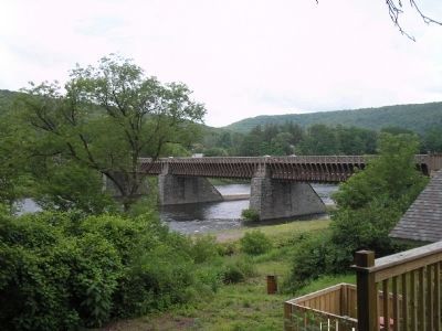
Other nearby markers. At least 8 other markers are within walking distance of this marker. Roebling’s Cable (a few steps from this marker); Delaware & Hudson Canal (within shouting distance of this marker); Bridge (within shouting distance of this marker); Roebling’s Delaware Aqueduct (within shouting distance of this marker); Battle of Minisink (within shouting distance of this marker); a different marker also named Battle of Minisink (about 300 feet away, measured in a direct line); Conflicts with Timber Rafts (about 400 feet away in Pennsylvania); Breaking the Ice (about 600 feet away in Pennsylvania). Touch for a list and map of all markers in Minisink.
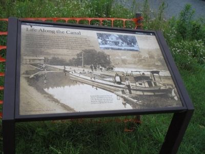
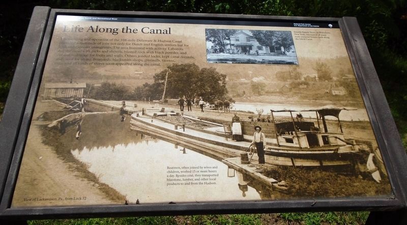
More about this marker. The background of the marker is an old photograph of a view of Lackawaxen, Pa. from Lock 72. It has a caption of “Boatmen, often joined by wives and children, worked 15 or more hours a day. Besides coal, they transported bluestone, lumber, and other local products to and from the Hudson.” There is an inset photo at the top right of the marker with a caption of “Seaside Supply Store, in Wurtsboro, New York, was typical of many multi-purpose houses built along the D&H Canal.”
Related markers. Click here for a list of markers that are related to this marker. Markers found at the Delaware Aqueduct Nation Park Service Unit.
Also see . . . Roebling's Delaware Aqueduct. National Park Service website. (Submitted on July 6, 2009, by Bill Coughlin of Woodland Park, New Jersey.)
Credits. This page was last revised on January 22, 2022. It was originally submitted on July 6, 2009, by Bill Coughlin of Woodland Park, New Jersey. This page has been viewed 905 times since then and 15 times this year. Photos: 1. submitted on July 6, 2009, by Bill Coughlin of Woodland Park, New Jersey. 2. submitted on August 7, 2018, by William Fischer, Jr. of Scranton, Pennsylvania. 3, 4, 5. submitted on July 6, 2009, by Bill Coughlin of Woodland Park, New Jersey. 6, 7. submitted on December 26, 2021, by Scott J. Payne of Deposit, New York.
