Mansfield in Richland County, Ohio — The American Midwest (Great Lakes)
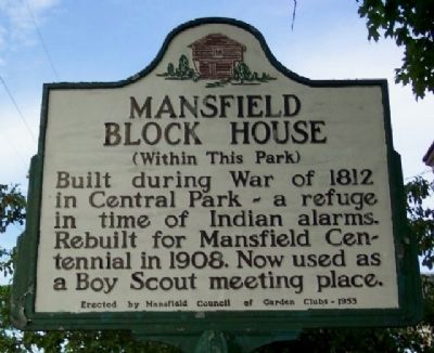
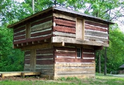
Mansfield Block House
Erected 1953 by Mansfield Council of Garden Clubs.
Topics. This historical marker is listed in these topic lists: Forts and Castles • Fraternal or Sororal Organizations • Native Americans • Notable Buildings • War of 1812. A significant historical year for this entry is 1812.
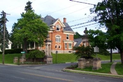
Location. 40° 45.533′ N, 82° 32.443′ W. Marker is in Mansfield, Ohio, in Richland County. Marker is at the intersection of Park Avenue West (Ohio Route 430) and Brinkerhoff Avenue, on the left when traveling west on Park Avenue West. Mansfield City Parks Department sign nearby lists area as "South Park". Touch for map. Marker is in this post office area: Mansfield OH 44906, United States of America. Touch for directions.
Other nearby markers. At least 8 other markers are within walking distance of this marker. We Remember The Holocaust And Say... Never Again (within shouting distance of this marker); "Johnny Appleseed" Monument (about 500 feet away, measured in a direct line); 120th Ohio Volunteer Infantry Memorial (about 500 feet away); Mansfield Blockhouse (approx. 0.2 miles away); Mansfield's War Of 1812 Blockhouse (approx. 0.2 miles away); Mansfield's War of 1812 Blockhouse (approx. 0.2 miles away); a different marker also named Mansfield's War Of 1812 Blockhouse (approx. 0.2 miles away); The Sultana Disaster (approx. 0.2 miles away). Touch for a list and map of all markers in Mansfield.
Also see . . . The Blockhouse as an Icon of Mansfield. Richland County History website entry (Submitted on July 15, 2022, by Larry Gertner of New York, New York.)
Credits. This page was last revised on July 16, 2022. It was originally submitted on July 10, 2009, by William Fischer, Jr. of Scranton, Pennsylvania. This page has been viewed 1,220 times since then and 11 times this year. Photos: 1, 2, 3. submitted on July 10, 2009, by William Fischer, Jr. of Scranton, Pennsylvania. • Syd Whittle was the editor who published this page.


