Near McLean in Fairfax County, Virginia — The American South (Mid-Atlantic)
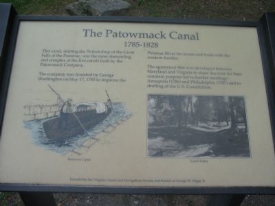
The Patowmack Canal
1785–1828
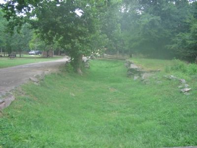
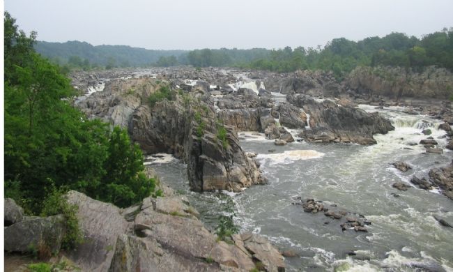
This canal, skirting the 76-foot drop of the Great Falls of the Potomac, was the most demanding and complex of the five canals built by the Patowmack Company.
The company was founded by George Washington on May 17, 1785 to improve the Potomac River for access and trade with the western frontier.
The agreement that was developed between Maryland and Virginia to share the river for their common purpose led to further meetings—Annapolis (1786) and Philadelphia (1787) and the to the drafting of the U.S. Constitution.
Donated by the Virginia Canals and Navigation Society and friends of George W. Higgs, Jr.
Topics. This historical marker is listed in this topic list: Waterways & Vessels. A significant historical month for this entry is May 1912.
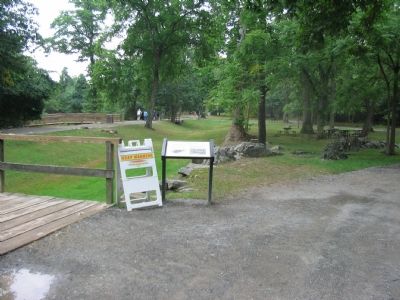
Location. 38° 59.785′ N, 77° 15.269′ W. Marker is near McLean, Virginia, in Fairfax County. Marker can be reached from Old Dominion Drive east of Georgetown Pike (Virginia Route 193). Located along the Great Falls National Park main trail, just south of the Visitors Center. Touch for map. Marker is at or near this postal address: 9200 Old Dominion Dr, Mc Lean VA 22102, United States of America. Touch for directions.
Other nearby markers. At least 8 other markers are within walking distance of this marker. People and the Potomac (about 400 feet away, measured in a direct line); River of Change (about 400 feet away); A Globally Rare Environment (about 400 feet away); a different marker also named Patowmack Canal (about 600 feet away); Floods at Great Falls (about 700 feet away); Olmsted Island (about 700 feet away in Maryland); a different marker also named The Patowmack Canal (approx. 0.2 miles away); Matildaville (approx. 0.3 miles away). Touch for a list and map of all markers in McLean.
More about this marker. The marker has a drawing depicting a bateau in the canal, and a photograph of the canal today.
Also see . . .
1. The Patowmack Canal. From the NPS site. Yes, one may argue that this "ditch" opened the door for dialogs that eventually produced the U.S. Constitution. (Submitted on August 15, 2007, by Craig Swain of Leesburg, Virginia.)
2. Trail Map for Great Falls National Park. (Submitted on August 15, 2007, by Craig Swain of Leesburg, Virginia.)
3. The Patowmack Canal - a Technical Look. (Submitted on August 15, 2007, by Craig Swain of Leesburg, Virginia.)
Credits. This page was last revised on July 7, 2021. It was originally submitted on August 15, 2007, by Craig Swain of Leesburg, Virginia. This page has been viewed 1,844 times since then and 26 times this year. Photos: 1, 2, 3, 4. submitted on August 15, 2007, by Craig Swain of Leesburg, Virginia. • J. J. Prats was the editor who published this page.


