Saint Anthony Main in Minneapolis in Hennepin County, Minnesota — The American Midwest (Upper Plains)
Father Hennepin Bluffs
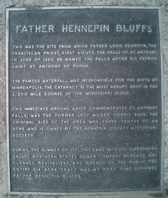
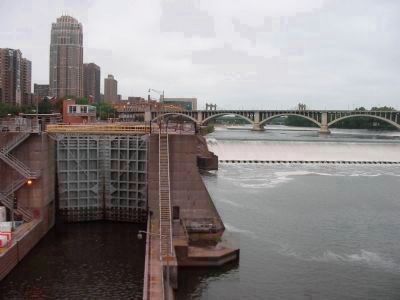
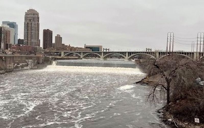
The famous waterfall was responsible for the birth of Minneapolis. The cataract is the most abrupt drop in the 2,200 mile course of the Mississippi River.
This immediate ground, which commemorates St. Anthony Falls, was the former Lucy Wilder Morris Park. The original size of the area was three-tenths of an acre and is owned by the Hennepin County Historical Society.
During the summer of 1971, this land with the surrounding unused Northern States Power Company acreage was cleaned, revitalized, and open to the public. The entire six acre tract was at that time renamed Father Hennepin Bluffs.
Topics. This historical marker is listed in these topic lists: Churches & Religion • Colonial Era • Exploration • Waterways & Vessels. A significant historical month for this entry is June 1680.
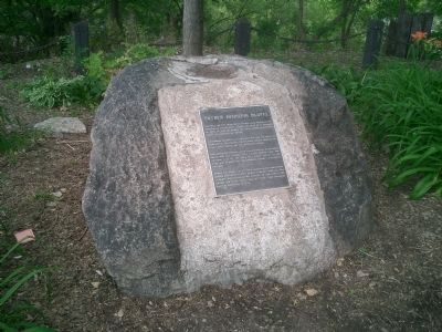
Location. 44° 58.868′ N, 93° 15.041′ W. Marker is in Minneapolis, Minnesota, in Hennepin County. It is in Saint Anthony Main. Marker can be reached from 6th Avenue SE just south of SE Main Street, on the right when traveling east. The marker is at the east end of the Stone Arch Bridge that crosses the Mississippi River. It is now a walking path bridge. The marker is on the right side as you exit the bridge. Touch for map. Marker is in this post office area: Minneapolis MN 55414, United States of America. Touch for directions.
Other nearby markers. At least 8 other markers are within walking distance of this marker. The Stone Arch Bridge (a few steps from this marker); Layers of History (a few steps from this marker); Marcy~Holmes (a few steps from this marker); Lucy Wilder Morris (within shouting distance of this marker); Portaging Around the Falls (within shouting distance of this marker); Pettingill's Wonderful Water (about 400 feet away, measured in a direct line); Sawmilling: The City's First Industry (about 400 feet away); The Pillsbury A Mill (about 800 feet away). Touch for a list and map of all markers in Minneapolis.
Also see . . .
1. Father Louis Hennepin. (Submitted on July 23, 2009, by Syd Whittle of Mesa, Arizona.)
2. Upper Saint Anthony Falls Lock & Dam. (Submitted on November 24, 2009, by Keith L of Wisconsin Rapids, Wisconsin.)
Additional commentary.
1. Lock and dam update
As of 2015 vessels are no longer allowed through the lock and dam system.
— Submitted June 8, 2023, by Mitchell Miller of At Large, United States.
Credits. This page was last revised on February 13, 2024. It was originally submitted on July 23, 2009, by Joseph Cavinato of Fountain Hills, Arizona. This page has been viewed 2,424 times since then and 45 times this year. Last updated on June 8, 2023, by Mitchell Miller of At Large, United States. Photos: 1, 2, 3. submitted on July 23, 2009, by Joseph Cavinato of Fountain Hills, Arizona. 4. submitted on July 23, 2009, by Syd Whittle of Mesa, Arizona. 5. submitted on November 24, 2009, by Keith L of Wisconsin Rapids, Wisconsin. 6. submitted on February 8, 2024, by Kayla Harper of Dallas, Texas. • J. Makali Bruton was the editor who published this page.
