Catonsville in Baltimore County, Maryland — The American Northeast (Mid-Atlantic)
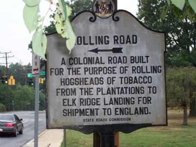
Rolling Road
Erected 1934 by State Roads Commission.
Topics. This historical marker is listed in these topic lists: Colonial Era • Industry & Commerce • Roads & Vehicles.
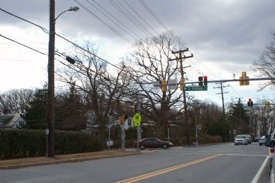
Location. 39° 16.149′ N, 76° 44.721′ W. Marker is in Catonsville, Maryland, in Baltimore County. Marker is at the intersection of Frederick Road (Maryland Route 144) and Rolling Road (Maryland Route 166), on the right when traveling west on Frederick Road. Touch for map. Marker is in this post office area: Catonsville MD 21228, United States of America. Touch for directions.
Other nearby markers. At least 8 other markers are within walking distance of this marker. The Streetcar Era in Catonsville (about 600 feet away, measured in a direct line); Catonsville (about 600 feet away); Baltimore Regional Trail (approx. ¼ mile away); Catonsville Nine (approx. 0.3 miles away); Castle Thunder (approx. 0.3 miles away); a different marker also named Catonsville (approx. 0.7 miles away); Catonsville Veterans Memorial (approx. 0.7 miles away); A Civil Rights Milestone (approx. 0.8 miles away). Touch for a list and map of all markers in Catonsville.
Credits. This page was last revised on June 16, 2016. It was originally submitted on August 19, 2007, by Bill Pfingsten of Bel Air, Maryland. This page has been viewed 2,287 times since then and 157 times this year. Photos: 1. submitted on August 19, 2007, by Bill Pfingsten of Bel Air, Maryland. 2. submitted on March 1, 2008, by Christopher Busta-Peck of Shaker Heights, Ohio. • J. J. Prats was the editor who published this page.

